

Apps Like DiaTouch for iPhone and iPad
View timetable and diagram forms.
The app reads WinDia files and supports OuDIA and OuDiaSecond formats. Users can view timetable, diagram, and box diagram forms.
DiaTouch screenshots
Ranked alternatives
Showing 241–260 of 1,000 ranked alternatives.

FirstAlt Driver
Firstgroup America Inc
Create your driving profile and start learning
Create a profile by entering a mobile phone number and a 6-digit PIN. Verify the phone number with a one-time code. Enter basic personal information. Track driving progress and complete required lessons.

Busmate: Athens Bus Transport
Konstantinos Kalogeropoulos
Find bus routes and nearby stops
Find bus stops and view real-time arrival times. Get step-by-step directions to popular locations. Access details about nearby stops, including walking distances and bus information. Search for specific bus stops and track arrivals.
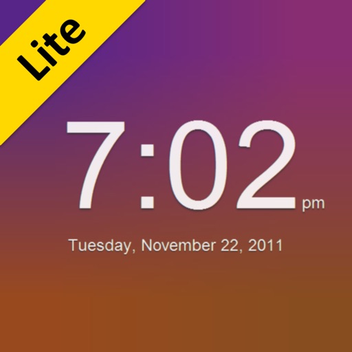
Smooth Clock Lite
Piet Jonas
Device becomes clock with animation
The app transforms a device into a clock with animated backgrounds. Users can select day or night modes, choose from three animations, and set animation speeds.
MapToaster NZ Topo Maps
Integrated Mapping Ltd
New Zealand topo maps for planning.
The app provides New Zealand topographical maps with detailed placenames and conservation area borders. Coordinates can be displayed in various formats, and users can navigate to waypoints with a head-up display.


FastSim Travel
Fast Sim Travel LLC
Activate Fast Sim Card with your phone
Activate a Fast Sim Card by downloading and installing the . Fill out a form and scan the Sim Card barcode using your phone's camera. Submit the form to complete activation.



GPX Binder
Tahito Aoki
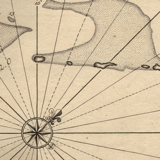
View and edit GPS tracks easily.
The app displays GPS tracks on a map and allows users to edit logs by moving, adding, or deleting points. Users can also geotag photos with coordinates and export edited tracks in GPX, KML, or KMZ formats.


Coastal Explorer
Rose Point Navigation Systems, Inc
Plan and log cruises
View NOAA and USACE nautical charts for U.S. waters in vector format. Create routes, waypoints, and boundaries. Sync navigation objects across devices. Track boat position and speed. Set and monitor alarms for depth, speed, and proximity.
How we rank alternatives
Apps are ranked by functional similarity, category fit, rating confidence, and popularity.