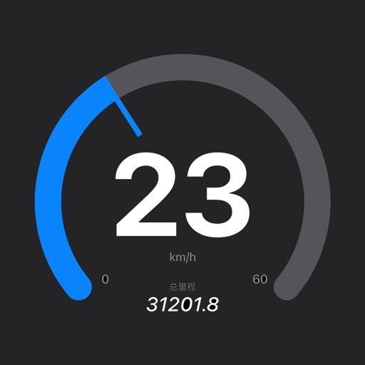
Track in real time using device sensors. View current in miles per hour. Set limits and receive alerts when exceeded. Log trips and review history. Share data via email or social media. Calibrate sensor for accurate readings.
Track walks with map views, elevation profiles, and statistics. Receive configurable voice feedback during walks. Sync data automatically via iCloud to iPad and other devices. Generate monthly and yearly summaries in PDF format.
Navigation provides marine and outdoor maps worldwide without mobile coverage. Displays satellite and terrain overlays on . Includes local marine weather forecasts. Supports raster and vector chart integration.