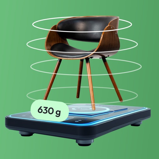
Measure object dimensions with camera using AI-powered image analysis. Capture and analyze multiple objects in a single photo. Save and share measurement data. Convert units between inches, centimeters, and feet.
Search for homes by location or address. View property details such as price, photos, description, taxes, and estimated mortgage. Access maps and additional features. Filter and save listings for later review.
Monitor health with real-time alerts for issues like low emergence and nutrient deficiencies. View color-coded, sortable alerts by field and acre. Analyze high-resolution imagery combined with machine learning insights.
View and analyze geographic data with customizable maps. Import ESRI Shapefiles and other datasets. Create and export maps with background imagery. Load and investigate spatial data directly on the device.
View interactive maps displaying rock locations within your field. Navigate the map to identify problem areas and avoid unexpected issues. Delegate rock removal tasks with confidence using precise rock location data.
Users can purchase goods from China, arrange packaging, and pay via ABA Bank, ACLEDA Bank, or Wi. Track shipments domestically and internationally. Access logistics and procurement services for importing goods.
Geolocate project components on a map and link observations for precise tracking. Create and manage a single punchlist within the . Share updates in real-time with team members. Digitally document inspections and submit reports without paper.