The app stores millions of points of interest and routes on the user's device for offline access. It includes a toolbar for quick access to categories, signs pointing to offscreen points of interest, and compass, radar, and scanner modes.
by Ian Muriss★ 4.47 ratingsNavigation$1.99Data updated 2026-10-23
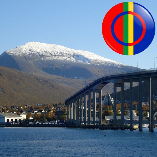
The app displays Sami points of interest in Norway, including mountains, lakes, and buildings. Users can identify locations by pointing their device and viewing them on the screen, even without an internet connection.
Plan routes and invite friends to join rides. Track group progress in real time. View 3D maps during journeys. Save ride history with details. Share locations and navigate together as a group.
Record and share indoor routes using printable tags. Navigate spaces with AR guidance. Access saved routes from any starting point. Provide audio feedback for visually impaired users.
View 3D topographic maps of offline with vector data. Navigate by car, boat, plane, or on foot. Access worldwide satellite maps online with automatic caching. Toggle between map types and zoom to any location.
Verkehrs und Tarifverbund Stuttgart, Gesellschaft mit beschraenkter Haftung (VVS)
Find cycling routes in Stuttgart region.
The app plans cycling routes in the Stuttgart region, suitable for commuters and leisure riders. It offers options for routes with or without bikes on public transport and includes pre-planned tours.