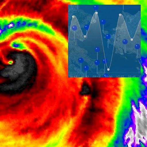
The app provides New Zealand tide information using the device's GPS or a selected location from over 250 sites. It displays tide tables, current date, future dates up to December 2026, and Daylight Saving Times.
by Xentore Pty Ltd★ 5.01 ratingsWeatherFreeData updated 2026-10-04
Access current conditions and a 7-day forecast. View real-time radar and satellite imagery with 250-meter resolution. Receive storm alerts, school closings, and road condition updates. Track future radar movements.
Access real-time data with high-resolution radar and satellite imagery. View current conditions and forecasts updated hourly. Add and save favorite locations. Use integrated GPS for location-based alerts.
The app provides a reference guide to earthquakes worldwide from multiple sources. It displays earthquake data on an interactive map and in sortable lists, allowing users to view details and share information.
Monitor real-time water levels and tidal predictions for coastal and inland waterways. Select locations to view forecasts up to six days ahead. Access data from German and Dutch water authorities for accurate tide and water level information.
View current updates multiple times per hour. Access high-resolution satellite imagery and 250-meter radar. Add and save favorite locations. Receive hourly forecasts with daily and hourly predictions. Use integrated GPS for location-based data.
View topographic maps of New Zealand's . Locate current position via GPS. Search for place names. Access map data offline without cellular coverage. Display detailed terrain and geographical features.
Calculate costs for routes in the US, Canada, Mexico, the UK, Scandinavia, Western & Central Europe, Brazil, Australia, and New Zealand. Input start and end points to receive estimated fees. Supports 2-axle passenger vehicles.