
MGRS Wear
James Taylor
View location in , UTM, or coordinates
Displays GPS location on Apple Watch. Toggles between , UTM, and decimal coordinates. Requests location permissions at startup.

Locate yourself using UTM coordinates.
The app displays the user's current location in the UTM coordinate system. It provides the UTM Grid Ref, Compass Bearing, WGS84 Latitude and Longitude, and Hemisphere.
Showing 21–40 of 1,000 ranked alternatives.
James Taylor
View location in , UTM, or coordinates
Displays GPS location on Apple Watch. Toggles between , UTM, and decimal coordinates. Requests location permissions at startup.

明力 王
Navigate with precise location data
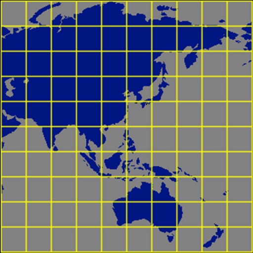
Measure geographical orientation with a precise . Display longitude, latitude, altitude, weather, and magnetic field data. Record location points and view saved travel history.
ishii yuuta
Convert GPS coordinates with compass.
The app converts UTM/MGRS coordinate values obtained using iPhone GPS. It includes a compass and altimeter for user support.

ANKAGIS YAZILIM ANONIM SIRKETI
Get instantly and accurately
Get accurate GPS and latitude longitude instantly. Display in multiple formats including DMS, UTM, and MGRS. Convert between coordinate systems. Share precise location data directly.

Enacti Ventures Private Limited
Track elevation, location, and weather
Track elevation and atmospheric pressure with and barometer. Use compass for direction based on satellite location. Access weather updates and speedometer. Log steps with pedometer. View maps and use binoculars for scouting.

Chirag Gabani
Capture with GPS, date, time, and location
Add GPS data including date, time, latitude, longitude, altitude, weather, and compass to . Share geotagged images with friends to show travel locations. Track live location and embed it into captured .

Elen Bekzadyan
Real compass with location and weather.
The app displays device orientation to magnetic fields. It provides location coordinates, course, speed, altitude, weather information, date, time, and map views.

Zipo Apps Ltd.
Track location with GPS and MGRS coordinates
Determine location using GPS and MGRS coordinates. Display latitude, longitude, and altitude. Show 16 main directions. Operate offline. Suitable for camping and outdoor navigation.

John Spinks
Map coordinates displayed worldwide clearly.
The app displays map coordinates in multiple grid formats including British Grid, Irish Grid, MGRS, and UTM. It also shows Latitude & Longitude in decimal and sexagesimal notation for global use.
Rihab Mehboob
Navigate with real-time GPS map
View real-time GPS maps and switch between map and views by holding the device. Track heading, , altitude, latitude, longitude, speed, and temperature. Use a for accurate navigation and monitor speedometer and temperature readings.

DOUBLE U s.r.o.
Navigate with precision and style
Provide accurate GPS coordinates and altitude readings. Display direction and map integration. Enable location-based reminders and track movement routes. Adjust settings for different navigation modes.

Dan Iatco
Integrated tools for outdoor navigation.
The app offers integrated navigation tools including a full-screen map, GPS, compass, altitude, UTM, and magnetic declination. It displays current altitude, speed, and UTM coordinates with precision grids for various measurements.

Oceaneering International, Inc.
Coordinate conversion for geodetic grids.
The app converts between geodetic and grid coordinates. It supports multiple formats for latitude, longitude, and grid coordinates, along with various datums and projections.

Evgen Bodunov
Explore, bookmark, and track locations
Allow users to explore locations without an internet connection. They include detailed global with millions of points of interest. Users can download for use and bookmark favorite locations. GPS tracking enables recording of travel routes.

David Southgate
And view coordinates in real time
Displays current location and altitude. View coordinates in UTM, DMS, MGRS, and others. Access location within the , Apple Watch , or as a complication.

Civi Corp Pty Ltd
Capture photos with location and time stamps
Capture and stamp photos with GPS position, direction, altitude, and timestamp. Add notes including project name, photo description, company or username, and logo via in- purchase. Overlay location data directly on images for accurate documentation.

Alvaro Maroto Conde
Track location, speed, and altitude
Displays current course, speed, altitude, coordinates, orientation, and weather using GPS and compass. It includes advanced bookmarking, Street View, and live Flyover mapping features.

Faisal Sultan
Find Kaaba Direction Anywhere Instantly
The app helps Muslims find the Qibla direction toward the Kaaba in Makkah using GPS, magnetometer, and location services. It works globally, even without an internet connection, and features a visually pleasing compass interface.

Peter Bohl
Navigate with GPS and map overlays
Navigation allows users to view direction aligned with satellite imagery or maps. Displays street address, GPS coordinates, elevation, and What3Words codes. Taps switch between satellite and map views. Pinch or spread to zoom.

Apps are ranked by functional similarity, category fit, rating confidence, and popularity.