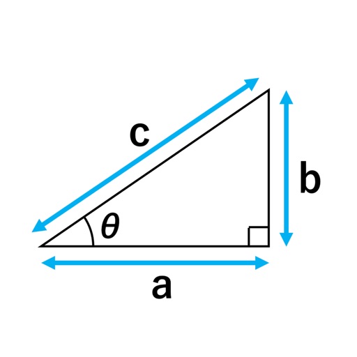
Measure levels in multiple orientations and slope angles with high precision. Calibrate and hold measurements for stability. Choose appearance settings. Track horizontal, vertical, and flat placements.
by Tatsuki Sasaki★ 4.612 ratingsUtilitiesFreeData updated 2026-09-08
The app aids in subnet design by generating lists of networks and subnets. It displays the number of networks and host addresses for each, helping users find suitable subnet masks.
Measure land , distance, and perimeter using GPS and satellite maps. Define boundaries by placing points or walk the perimeter for hands-free tracking. Save and export measurement data for professional use.