Measure levels in multiple orientations and slope angles with high precision. Calibrate and hold measurements for stability. Choose appearance settings. Track horizontal, vertical, and flat placements.
by Tatsuki Sasaki★ 4.612 ratingsUtilitiesFreeData updated 2026-09-08
Measure vibrations using phone sensors to detect seismic activity or body tremors. Display readings on the modified Mercalli intensity scale. Calibrate the to set maximum values between 10-11. Provide reference comparisons for earthquake vibrations.
Monitor speed and direction with a in metric or imperial units. Display major road and highway speed limits. Highlight current speed in yellow for slight excess and red for significant excess. Supports landscape and portrait orientations.
Measure land , distance, and perimeter using real-time GPS. Mark points on a map to calculate fields, plots, and paths. Switch between and distance modes. Supports units like acres, hectares, and square feet. Save and export data.
Use camera to measure length, area, angle, or height of objects in real-world environment. Draw objects on surfaces and visualize measurements in augmented reality.
Calculate group size in MOA or inches/cm for paper, steel, or custom targets. Measure precision with a digital ruler. Analyze shot groups to improve accuracy. Track performance with RangeIQ. Share results and compare improvements over time.
Measures environmental noise and displays values through a gauge and graph. Shows current noise reference and min/avg/max levels. Allows device-specific calibration. Displays data in multiple formats.
The app helps users capture perfectly level photos or photos at artistic angles. It highlights the correct camera position relative to the horizon for precise shots.
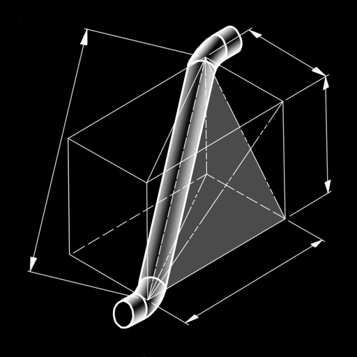
The app calculates dimensions and cut lengths for piping offset spool configurations. It presents bend angles, tangents, cut lengths, rise, run, hypotenuse, miter angles, and arc lengths.
Tune strings with real-time frequency display in Hz. Calibrate to multiple A frequencies. Load tuning instantly for quick adjustments. Provides visual feedback with LED indicators. Offers intuitive interface for easy use.
Record slope angle and aspect using phone camera. Capture crown profile and measure dimensions. Map slide path with GPS. Share diagrams and maps with colleagues. Post data to network for alerts.
Measure and areas by drawing paths or closing loops. Switch between metric and imperial units. Undo drawings as needed. View standard or satellite maps. Export measurements as KML files for use in Google Earth and other mapping apps.
Convert PDF drawings into editable documents with smart line detection. Measure distances and angles precisely. Export annotations and share files directly. Sync with cloud storage and view layered drawings.
The app calculates surface areas, fields, plots, and dimensions for various field work needs. It measures distances, perimeters, and areas with precision over satellite images.