The app identifies weeds from photos and provides herbicide recommendations for crops and grasslands. It displays herbicide information, including application rates, prices, and restrictions.
by Landwirtschaftsverlag GmbH★ 0.00 ratingsBusinessFreeData updated 2026-10-03
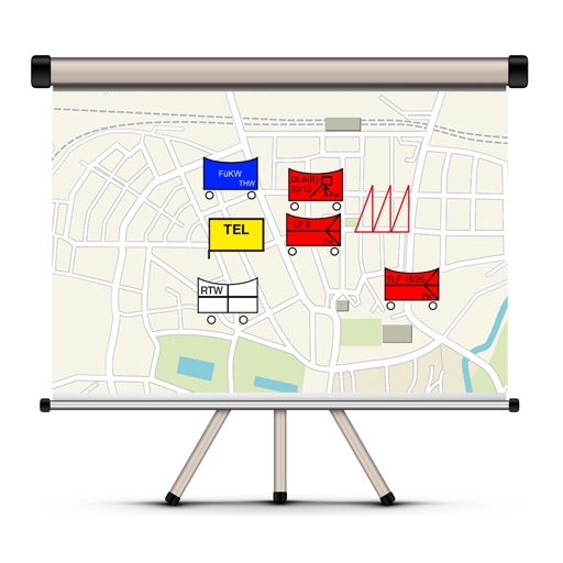
The app allows users to create and manage situation maps for emergency services. It includes features for organizing different agencies, displaying maps, creating situation reports, and sending them via email.
The app provides access to benefits at participating businesses for goods and services. A list of participating businesses and their benefits is available on the operator's homepage.