The app provides outdoor navigation with satellite, road, and hybrid maps. An in-app subscription unlocks USGS 24k Topo charts, navigational features, and frequent upgrades for outdoor pursuits.
by Red Sky Engineering, LLC★ 5.01 ratingsNavigationFreeData updated 2026-10-01
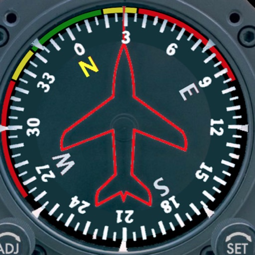
Displays a photorealistic -style indicator with both analog and digital readouts. Users can toggle rotation lock, simulate the instrument indoors, and view improved graphics. Supports latest iOS versions and includes bug fixes.
Track walking, (outdoor and indoor treadmill), and cycling activities with precise movement detection. Log workouts, set goals, and view progress reports. Sync data across devices and share achievements with the community.
Track real-time bus locations and receive arrival updates. Plan routes and stops using maps and schedules. Save frequently used routes for quick access. Set custom alerts for bus arrivals or delays.
The app displays all teammates on a live map, showing their real-time movements. Users can mark the ground and coordinate actions directly from the field or sideline.
Trace paths on maps to analyze elevation, distance, gradient, and bearing. View elevation and grade profiles of traced routes. Calculate area of arbitrary paths. Use satellite or default map views for terrain study.