Identify San Diego SDMTS bus stops with real-time bus predictions. View routes and save favorite stops. Locate stops via location services or map navigation. In- purchase removes ads.
by Junebot, LLC★ 1.03 ratingsNavigationFreeData updated 2026-09-08
Book mobile tickets using Apple Pay or a debit/credit card and scan for entry. View live departures with map-based bus stops and route options. Plan journeys by exploring stops and routes.
The app provides real-time bus arrival timings and details of bus routes. It also offers information on delayed or diverted bus services and changes in operating hours for both buses and trains.
Plan journeys with live departures and map-based bus stop exploration. Check fares for planned trips. Purchase mobile tickets via Apple Pay or card and display them onboarding. Pay on the bus without needing cash.
Monitor tide levels in with real-time data and two-day forecasts. Check flood status for key locations to determine if walking is possible. Track water levels at specific city sites.
Track real-time bus and locations with a map. View precise vehicle positions instead of static schedules. Confirm arrival times before heading to stops. Avoid delays by seeing actual movement on streets and tracks.
Track real-time bus locations and receive arrival updates. Plan routes and stops using maps and schedules. Save frequently used routes for quick access. Set custom alerts for bus arrivals or delays.
Access real-time train predictions for the nearest station instantly. View detailed stop information including transfer options, time windows, and train colors. Navigate with a clean, intuitive interface that minimizes tapping and visual clutter.
Report safety concerns at bus stops, stations, or on buses directly to RTC Safety & Security. Store messages offline and resend when connectivity returns. Submit incident details including location, time, and description.
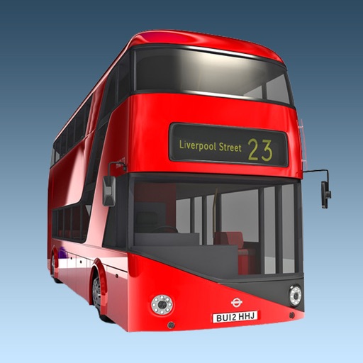
The app provides real-time bus arrival information for all London bus stops using Transport for London live data. Users can find bus stops by name, ID, or current location to check upcoming arrivals.
Use camera to view augmented reality overlays of nearby locations. Search for restaurants, ATMs, pharmacies, and transit stops. Get directions and real-time information about nearby services. Save favorite places and share locations with others.