Navigate using a GPS to any saved location. Save current position, input coordinates manually, or extract GPS from photos. View saved points history and export coordinates to Google or Apple Maps.
The app helps golfers determine which club to use for specific distances. Users can save their shot distances and choose between yards or meters for display.
Measure lengths with a ruler supporting metric and imperial units. Detect ambient noise levels using a decibel meter. Use a protractor tool to measure angles via the camera. Calibrate screens for accurate color display.
Measure atmospheric in real time. Detect location automatically. Display current weather conditions and percentage. Search for cities and save favorite locations.
Objects and spaces using augmented reality. Tap to place a virtual and get precise distance readings. Share measurements directly or save them for later reference. No physical tools required.
Measure real-world objects using augmented reality. Tap to start measurements, switch between length and area modes. Unlock unlimited measurements and remove ads with a subscription. Sync results across devices.
Create 3D layouts with precise measurements. Measure distances and surface areas using augmented reality. Export scans as PDF or other file formats for easy sharing and reference.
Measure object dimensions with camera using AI-powered image analysis. Capture and analyze multiple objects in a single photo. Save and share measurement data. Convert units between inches, centimeters, and feet.
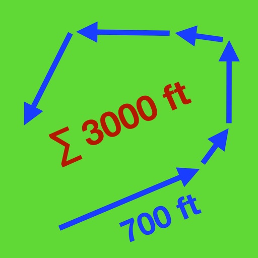
Track routes by enabling location and pressing record to start while walking or riding. Stop recording to suspend, pause to add new sections, and manage segments by connecting gaps or removing points. Relocate the entire as needed.