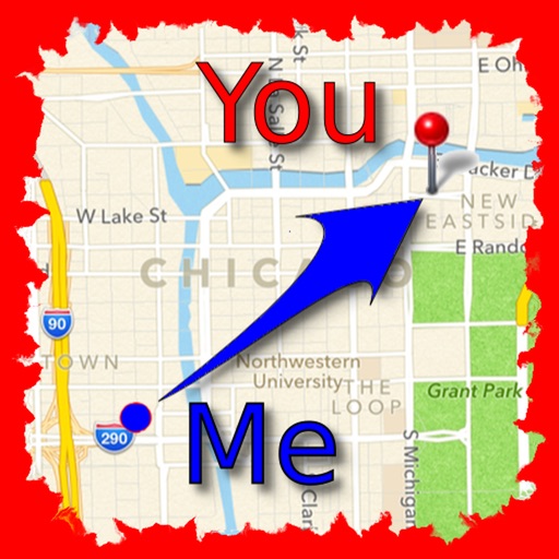
The app allows users to find friends by showing their current direction and distance to the friend's last known location. Users can label and store locations, then find directions and distance to them.
by Jaroslaw Szymczyk★ 5.01 ratingsNavigationFreeData updated 2026-10-01
The app helps users find nearby places like restaurants and shops using AR view for directions. It allows saving keywords, setting search points, and sorting results by distance.
Track real-time positions, distance, and direction with a high-precision GPS module and LoRa radio. Share location updates and communicate during outdoor activities without needing Wi-Fi, cell service, or subscriptions.
The app displays New York City street corners rated for taxi cab activity. Ratings are based on machine learning applied to millions of taxi trips and adjust by time, day, and location.
Record bird observations with time, location, and count details. Edit entries to adjust location, time, or bird numbers. Create and organize bird checklists. Share observations and view maps showing observation locations.
Logs vehicle journeys and organizes records with route type classifications. Tracks real-time GPS location and displays traveled routes on an interactive map. Shows route history with timestamps and distance markers.
The app displays geographic data on a map for searching buildings, rooms, and locations at CERN. It offers offline functionality, routing with three travel modes, and shuttle schedules with full CERN coverage.