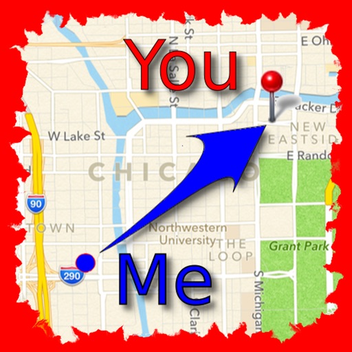
The app allows users to find friends by showing their current direction and distance to the friend's last known location. Users can label and store locations, then find directions and distance to them.
by Jaroslaw Szymczyk★ 5.01 ratingsNavigationFreeData updated 2026-10-01
Memos tied to specific locations on a map. Add notes about places you discover, favorite spots, or travel destinations. View memos based on current location or saved favorites. Share memos with others via email or social media.
Find routes with real-time traffic updates and voice-guided . View 3D aerial and use a digital compass for orientation. Plan trips with AI-generated itineraries and track progress toward destinations.
Displays current , distance, direction, and altitude in MPH, KM/H, and KNOTS. Shows decimal values. Tracks top and average . Records and altitude data for the last few hours. Supports iPhone and iPad. Includes "speak " feature for audio feedback.
View the map and zoom in or out. Search for addresses and add locations to contacts. Find directions and view nearby businesses. Switch between street, satellite, and hybrid views.
Explore seafloor topography using NOAA's high-resolution bathymetry data. View underwater features like reefs, ledges, and channels. Access maps offline without a subscription.
Lets users measure distances and areas on maps. They can plot a radius around a point with customizable color and size. Share map images to indicate routes, areas, or radii. Export maps as images for documentation or communication.