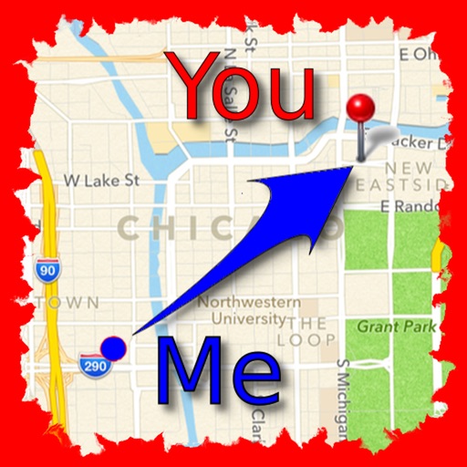
The app allows users to find friends by showing their current direction and distance to the friend's last known location. Users can label and store locations, then find directions and distance to them.
by Jaroslaw Szymczyk★ 5.01 ratingsNavigationFreeData updated 2026-10-01
Navigation "Display current location and direction. Find nearby metro or Cycle Hire stations. Store and return to saved positions. Locate restaurants, bars, and museums. Provide maps and navigation guidance."
Find misplaced items with a single touch. Track anti-lost devices to view their locations anytime. Receive two-way reminders when out of range. Customize non-disruptive settings for sleep and quiet hours.
Find stops using current location or route selection. Save favorites to the cloud. View arrival times, bus locations, and future schedules. Track buses to estimate arrival times at destinations.
Navigate college campuses by searching for buildings and locations. Add campuses and locations manually. Rate locations for accuracy. Earn FMCPoints and compete on a leaderboard for contributing content.
Receive location data via email and map it automatically. Visualize GPS coordinates with a radius overlay. Get notifications for location updates. Share mapped locations with others. Set custom radius sizes and track movement patterns.
Track sunrise, noon, and sunset times for any location. Set notifications for remaining . Compare locations, create movies, and generate reports. Monitor solar events globally.
Locate lost devices with real-time signal strength and live map guidance. Scan nearby devices and view distance scores. Supports AirPods, Apple Watch, AirTag, and other -enabled items.
The app provides navigation tools for communications, operations, and outdoor planning. It includes a compass, multiple coordinate systems, weather conditions, and route calculation features.
Track vehicle speed with a digital speedometer showing current, average, maximum speed, and total distance. Use offline mode for uninterrupted performance. Access two HUD modes for windshield display. Choose from 10 themes for customization.
View current conditions, real-time temperature, and hourly forecasts. Check storm, rainfall, snow, humidity, pressure, wind force, and direction. Access 10-day forecasts and severe alerts.
Determine direction to using GPS and compass. Display distance to . Show longitude, latitude, and address. Requires GPS permission for accurate calculation.
Navigate NYC , MTA buses, and PATH with real-time arrival data. View live service alerts and countdowns for each station. Access interactive maps, locate nearby stations, and plan trips using trip tools.
The app calculates distances and bearings between two points using latitude and longitude. It can also determine a final position from a starting point, distance, and bearing.