
aSmart HUD 3D +SpeedCams
Vitalijs Lennojs
Car dashboard with map and cameras.
The app displays current speed, trip data, and weather forecasts. It also shows speed camera locations and provides a 3D trip log graph.

Point to get direction and heading
Displays direction and heading in a large, readable format. Allows users to select a background and arrow style. Points to determine current direction and heading.
Showing 421–440 of 1,000 ranked alternatives.
Vitalijs Lennojs
Car dashboard with map and cameras.
The app displays current speed, trip data, and weather forecasts. It also shows speed camera locations and provides a 3D trip log graph.


Ben Sinclair
Clock with features for radio operators.
The app displays local time in 12H and 24H format alongside UTC. It shows the user's grid square and local sunrise and sunset times if the location is available.

Sean Flanagan
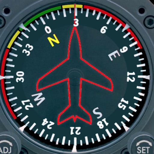
Track with realistic indicator
Displays a photorealistic -style indicator with both analog and digital readouts. Users can toggle rotation lock, simulate the instrument indoors, and view improved graphics. Supports latest iOS versions and includes bug fixes.


Monali Paghadal
PDF pages to images online
PDF pages to images in PNG or JPG format. Select and individual pages or entire documents. Adjust quality and export results. Share converted images directly via social media or email.


Ing. Ennio Nicolo
Animated compass shows Mediterranean wind.
The app displays an animated compass rose showing traditional Mediterranean winds. Users can point their device to identify wind direction and tap for descriptions and characteristics.


Sandro Rossetti
Fly over maps with hand movements.
The app allows users to fly over maps and notable places using hand movements as commands. Users can control altitude, direction, and orientation, with on-screen information for flight parameters.

Peter Appel
Geological compass for iPhone users.
The app functions as a geological compass for geologists, measuring dip direction and angle of geological strata. It displays real-time device orientation in a stereographic projection and allows data transfer to a computer.

Craig Hunter
Navigate with AR and map your path
Measure direction and elevation with a digital compass and inclinometer. Access real-time GPS and map data. Navigate using location-based routes. Share coordinates and track movement history.


Ilya Genkin
Calculate and adjust settings
Helps landscape photographers calculate settings. It includes magic hours, sunrise and sunset times, and sun direction. Users input shooting parameters to determine optimal settings.


Takaya Shono
Record Kyudo archery scores anytime anywhere.
The app allows users to record and manage Kyudo archery scores. Users can input daily scores, arrow placements, and add memos to their records.


Apps are ranked by functional similarity, category fit, rating confidence, and popularity.