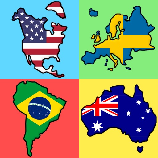
Learn geography through interactive puzzles. Tap or drag targets to place them correctly. Zoom and pan maps using pinch gestures. Purchase additional maps within the . Track progress and compete for high scores.
by squishLogic LLC★ 4.99 ratingsEducationFreeData updated 2026-09-08
The app teaches the names and locations of North American countries and territories. It features interactive lessons for identifying countries, hearing pronunciations, and assembling puzzle maps that mirror Montessori materials.
Access detailed information on 170+ countries including population, area, geographic coordinates, government, capital cities, economy, languages, culture, and history. Quick-view features allow users to compare data and explore facts efficiently.
The app places users as a general tasked with suppressing a revolt in Peru. Users complete 7 campaign missions across diverse terrains, utilizing a variety of machinery, facilities, and upgrades.
Explore country details with comprehensive profiles containing 170+ data points. View maps, flags, and key statistics. Search by country name or region. Compare economic, social, and political information. Save favorite countries for quick reference.
Explore regions with detailed of 22 countries. View geographic boundaries, climate zones, and vineyard locations. Export or print for study or teaching. Navigate through 122 to learn about region specifics.
Play Quiz to identify flags of countries and states. Select flags from various categories. Progress through levels to improve knowledge. View detailed information and hints. Track scores and compare with others. Share results on social media.
Learn national through a game format. Identify by country names. Group into with specific countries. Test knowledge with quizzes. View flag details and country information. Share scores with friends.
The app provides real-time tracking of the International Space Station. It offers visible and 24-hour pass predictions with alert notifications for overhead passes.
Allows users to identify from countries and regions. Players select from increasing difficulty levels. Features include flag images, hints, and score tracking. Users can compete against others or play solo.
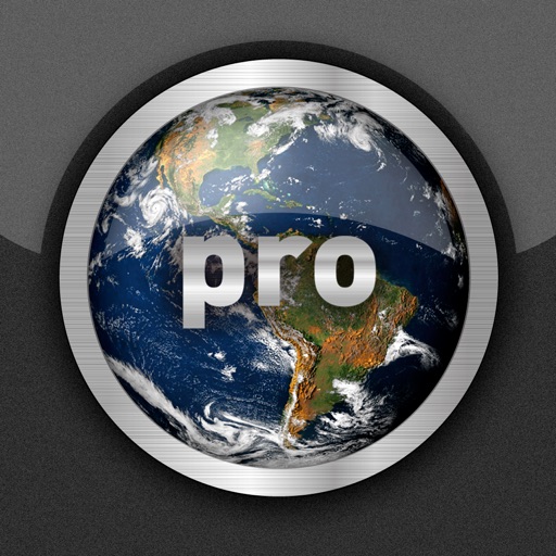
View real-time cloud cover and day/night boundaries. Rotate and zoom the globe, tap to explore maps. Check current weather for capital cities and search for specific locations. Pro version includes advanced pinging features for global connectivity.