EasyCockpit app icon

Apps Like EasyCockpit for iPhone and iPad

Aviation navigation for Southern Africa.

The app provides aviation navigation for Southern Africa with a GPS moving map and detailed airfields database. It includes airspace information, flight planning, and an E6B calculator for enhanced situational awareness.

by Aviation.Direct (Pty) Ltd★ 5.05 ratingsNavigationFreeData updated 2026-10-01

EasyCockpit screenshots

Ranked alternatives

Showing 521–540 of 1,000 ranked alternatives.

  1. Karttaselain - Maastokartta app icon

    Karttaselain - Maastokartta

    AccelBit Inc.

    Detailed maps for outdoor and work.

    The app provides detailed maps for outdoor activities and work, including terrain, waterways, and property data. It offers features like offline maps, nautical charts, and GPS positioning for navigation.

    ★ 4.36 ratingsNavigationFreeData updated 2026-09-13
  2. Aeronautical & Aviation Charts app icon

    Aeronautical & Aviation Charts

    Corporate Smalltalk Consulting Ltd

    View large charts with clarity.

    The app handles large PDF and TIFF files, including aeronautical charts. It provides zero-time zoom and scroll for charts under 36 megapixels.

    ★ 1.01 ratingsNavigation$15.99Data updated 2026-09-20
  1. Wärtsilä Pilot PRO app icon

    Wärtsilä Pilot PRO

    Wartsila Voyage Sweden AB

    Navigate with real-time AIS data

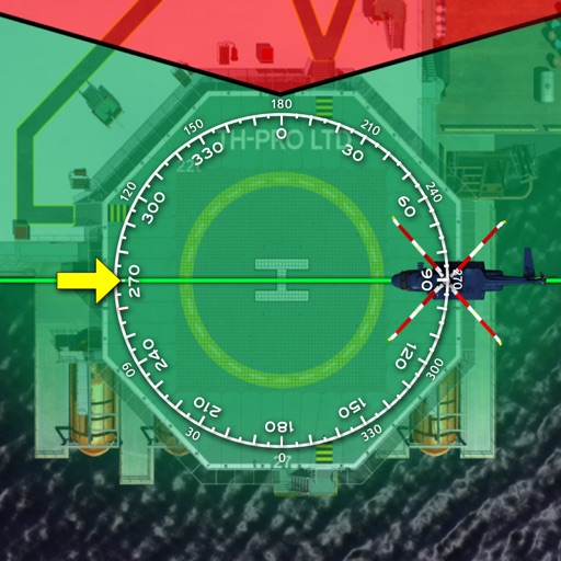
    Navigation for maritime professionals. View vector charts and ENC data. Use AIS Class A or NMEA sensors for positioning. Connect via Bluetooth GPS for backup. Track vessel movement and route. Receive navigational alerts and updates.

    ★ 4.73 ratingsNavigationFreeData updated 2026-09-09
  2. Vectorial Map Lite app icon

    Vectorial Map Lite

    Harald Meyer

    View offline maps and record tracks.

    The app allows users to view offline vector maps and record GPS tracks. It supports different map styles, track editing, route planning, and online maps.

    ★ 1.01 ratingsNavigationFreeData updated 2026-11-12
  3. Navigator: Instrument Training app icon

    Navigator: Instrument Training

    Laurie Davis

    Instrument training for general aviation pilots.

    The app provides instrument training for general aviation pilots. Users can manipulate map elements and observe instrument responses in Learn mode, or determine aircraft location based on instruments in Test mode.

    ★ 5.03 ratingsNavigation$4.99Data updated 2026-11-19
  4. Air Map Israel app icon

    Air Map Israel

    Ofer Raanan

    Locate aircraft and track position

    Displays device location as a plane with speed, direction, altitude, and geo data. Allows adding markers at specified distances or times along the flight path. Tracks movement on the map.

    ★ 5.02 ratingsNavigationFreeData updated 2026-09-06
  5. MOGOS app icon

    MOGOS

    FATOS Co., Ltd

    ★ 0.00 ratingsNavigationFreeData updated 2026-09-06
  6. MapApp NZ South Island app icon

    MapApp NZ South Island

    Saga Systems Ltd

    Explore maps, find locations, track GPS

    View topographic maps of New Zealand's . Locate current position via GPS. Search for place names. Access map data offline without cellular coverage. Display detailed terrain and geographical features.

    ★ 5.03 ratingsNavigation$11.99Data updated 2026-11-13
  7. SailTimer™ app icon

    SailTimer™

    SailTimer Inc.

    Marine weather for all boats.

    The app provides marine weather forecasts and crowdsourced wind maps. It offers features for all boat types, including route viewing and offline map usage.

    ★ 1.76 ratingsNavigationFreeData updated 2026-09-11

How we rank alternatives

Apps are ranked by functional similarity, category fit, rating confidence, and popularity.