Apps Like Altimeter & Barometer for iPhone and iPad
Track position and sea level with GPS
Displays current position via GPS with a map and sea level measurement in meters. Converts meters to feet using a calculator. Measures barometric pressure with a sensor for altitude tracking. Alerts for potential flooding.
by SHIGETO TAKAGI★ 4.6152 ratingsUtilitiesFreeData updated 2026-09-08
The app obtains GPS information by measuring the user's location. It displays the position on a map and can transmit location data to a computer on the network in real time.
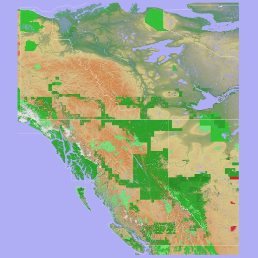
The app provides a 3D topographical map of Western Canada. Map data downloads to the device for use without an internet connection, allowing users to view terrain features as small as ten meters.