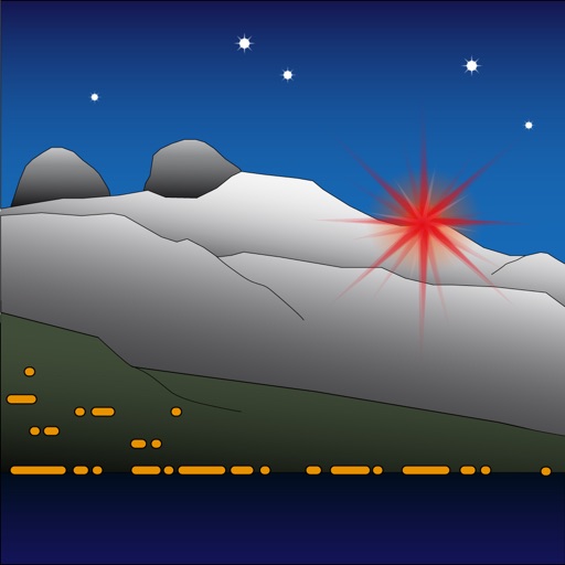
Étoile d'Aï
Senten Sarl
Modify landscape by changing light color.
The app allows users to modify the landscape by changing the color of the light. It represents Étoile d'Aï, a light located in Switzerland at an altitude of 2048 meters.

Track position and sea level with GPS
Displays current position via GPS with a map and sea level measurement in meters. Converts meters to feet using a calculator. Measures barometric pressure with a sensor for altitude tracking. Alerts for potential flooding.
Showing 561–580 of 1,000 ranked alternatives.
Senten Sarl
Modify landscape by changing light color.
The app allows users to modify the landscape by changing the color of the light. It represents Étoile d'Aï, a light located in Switzerland at an altitude of 2048 meters.

Takeshi Ono
Measure light for pinhole photography.
The app measures light exposure for pinhole photography. Users set the F-number, ISO, and tap the preview window for measurement.

Novvio, Inc.
Convert units, calculate, and save
Convert units across categories like length, weight, and temperature. Enter a value and select units for conversion. Perform calculations using converted values. Sync results with other devices.



Elen Bekzadyan
Track orientation with real-time compass data
Provides real-time device orientation based on magnetic fields. Allows switching between true and magnetic north. Displays compass direction and azimuth. Includes declination information. Offers tilt sensitivity settings.
A2 Consulting LLC
Calculate and convert map areas easily.
The app calculates area based on plotted points on a map or GPS points. It allows conversion between various area units and saving/sharing of calculated areas.

Robert Walker
Track altitude and vertical speed
Displays altitude and vertical speed using filtered GPS data and a Kalman Filter for smooth readings. Tracks changes in altitude to calculate vertical speed in knots. Provides pilots with clear, responsive variometer data for flight monitoring.


Meter Group, Inc.
Connect to devices and configure settings
Wirelessly connect to System devices via Bluetooth Low-Energy. View sensor data and on-board measurements. Configure device settings including metadata, measurement intervals, and communication preferences. Test cellular connectivity.


Tan Chia Ling
Calculate airflow rate instantly
Calculate airflow displacement by inputting velocity or volume. Select duct type and dimensions with unit options. Instantly display results in preferred units including fl/min, m/s, and ft3/min.


Ingenieria del Software ISEnet S.L.
Tune carb settings for 2-stroke
Configure carb settings for 2-stroke like PW 50, PW 80, YZ 65, and others. Input temperature, altitude, humidity, atmospheric pressure, and oil-mix ratio to receive recommendations. Use GPS to fetch real-time weather data for accurate adjustments.

Motionics, LLC
Monitor motion sensor readings in real time
Monitor and manage up to 14 Bluetooth motion sensors simultaneously. View real-time measurements, max, min, and TIR for each device. Disconnect or add devices without affecting others.

GV Software Solutions Limited
Measure distances, share maps as images
Lets users measure distances and areas on maps. They can plot radius areas with specified centres and sizes. Share maps as images to show routes, areas, or radii. Adjust colors and export map views.
Apps are ranked by functional similarity, category fit, rating confidence, and popularity.