

Apps Like Marinus: maritime rules for iPhone and iPad
Search navigation instantly anywhere
COLREGs offers flag identification, weather scales, cloud recognition, sound signal guidance, and vessel light details. Users can access navigation , interpret flags, and understand sound and light signals for safe boating.
Marinus: maritime rules screenshots
Ranked alternatives
Showing 101–120 of 1,000 ranked alternatives.

Navigation Marine PRO
Andrea Bisegna
Track position and mark waypoints
Track position and course over ground. Mark and edit waypoints. Measure distance in nautical miles and meters. Calculate course to waypoint. Display speed in knots, mph, or km/h.
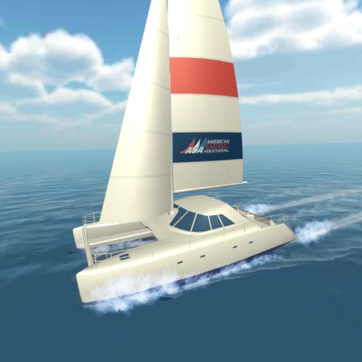
ASA's Catamaran Challenge
American Sailing Association
Learn sailing techniques and boat handling
Learn about sailing features including exhilarating speeds, spacious decks, and stable rides. Explore maneuverability under power at low speeds. Understand how two engines and propellers enable 360-degree pivoting without steering.

Nautical Nomograph
Universal Queue LLC
Calculate time, speed, and distance
Calculate time, speed, and distance with interactive charts. Input variables to solve equations. Convert units and view results instantly. Share solutions and save calculation history. Sync with charts for accurate route planning.

iTools - Pocket Multi Tool
Apostolos Samaras
Navigation emergency multitool always in pocket.
The app provides location information, including address and coordinates, with a compass and map view. It also features a seismometer to alert users of earthquakes and allows sharing of precise locations via email or message.

Morse code - Morse Master
亚娟 秦
Learn with AI audio decoding and practice
Learn and decode with AI-powered audio recognition that translates sounds into text. Practice through games like sound recognition and typing races. Access a detailed table for reference. Translate text to and vice versa.

Shellback
Program Executive Office for Enterprise Information Systems, Sea Warrior Program


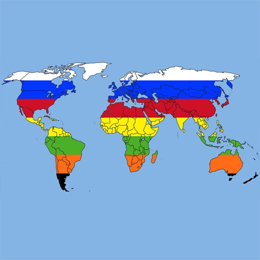
The World Flags *
Ratha Sou
Explore world flags and countries' details.
The app provides definitions and history for national flags. It also includes official country names, capitals, locations, area, population, and national anthems.


Atlas: Maps & Facts
Appventions
Explore and offline
Explore country profiles with population, languages, government, and GDP data. Access high-resolution and regional views. Download national flags and offline. Search for locations and view detailed geographical information.

Official Navy PFA
Program Executive Office for Enterprise Information Systems, Sea Warrior Program

World Map Quiz (Qbis Studio)
Konrad Kubis
Learn country locations with quizzes
Learn geography by identifying countries, capitals, flags, emblems, currencies, and cities. Play quizzes in flag mode, capital mode, and elimination mode. Test knowledge and track progress through interactive challenges.

GPS Data Smart
ExaMobile S.A.
Track altitude, speed, and location
Track altitude, elevation, and GPS coordinates. Monitor speed in km/h or mph. View compass direction. Check GPS signal quality. Log location for outdoor activities like running, mountaineering, or traveling.

We Maps 03
Makoto Katsumata
Navigate with real-time traffic data
Navigate using auto-direction based on current location. Create routes on Google . Access latest Street View and traffic data. Search locations with simple input. Add multiple pins and view full-screen . Display latitude and longitude.
How we rank alternatives
Apps are ranked by functional similarity, category fit, rating confidence, and popularity.