The app generates flight plans in native FSX, FS2004, or X-Plane formats. Users create routes visually by tapping the map to add airports and waypoints, with options to remove waypoints before saving.
by Fermin Fernandez★ 3.52 ratingsNavigation$24.99Data updated 2026-09-30
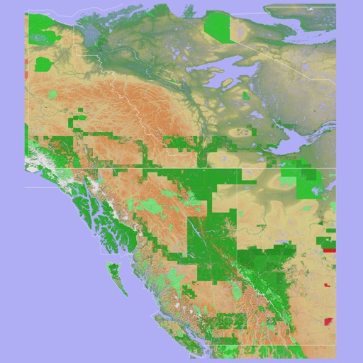
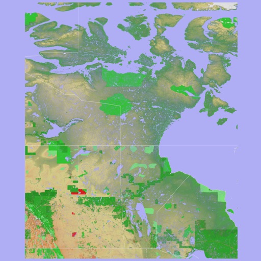
The app provides a 3D topographical map of Western Canada. Map data downloads to the device for use without an internet connection, allowing users to view terrain features as small as ten meters.
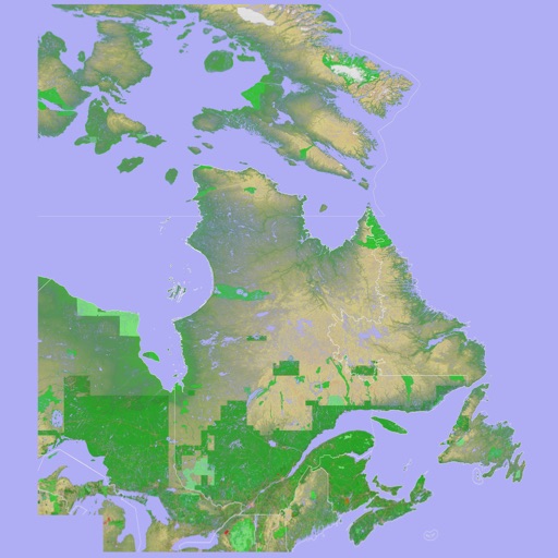
The app presents a 3D topographic map of Eastern Canada. Users can download map data for use without an internet connection, suitable for various travel methods.