
Ski Jump 3D
CANVAS, K.K
Experience realistic ski jumping flight.
The app allows users to experience realistic ski jumping. Users can jump by touching the screen to time their jumps.

Visual flight planning for simulators.
The app generates flight plans in native FSX, FS2004, or X-Plane formats. Users create routes visually by tapping the map to add airports and waypoints, with options to remove waypoints before saving.
Showing 601–620 of 1,000 ranked alternatives.
CANVAS, K.K
Experience realistic ski jumping flight.
The app allows users to experience realistic ski jumping. Users can jump by touching the screen to time their jumps.


SkyCharts LLC
Current FAA aviation charts updated regularly.
The app provides current FAA aviation charts updated every 28 days, including approach plates for the USA. It offers VFR, IFR, and other chart types, with METAR/TAF and IFR overlays.
Mark Granger
Explore landscapes in three dimensions.
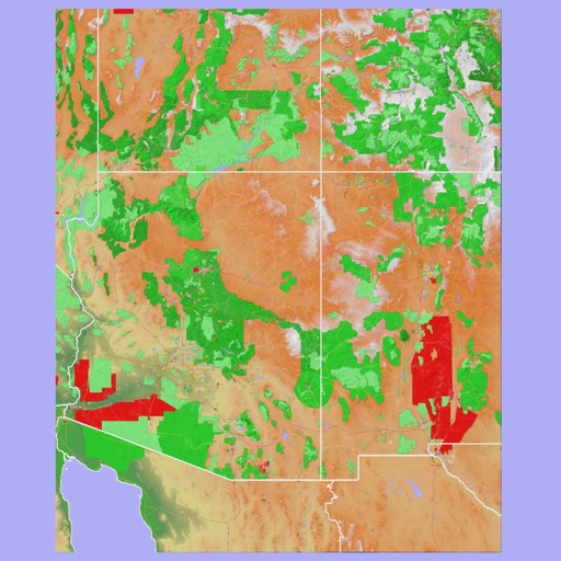
The app provides 3D topographic maps for iPad and iPhone. Vector map data is contained within the app for offline use, supporting navigation in various environments.

QUANTUM4U LAB PRIVATE LIMITED
Track flights with boarding pass scan
Track flights in real-time using a widget. Scan boarding passes to add flights to a personal list. Check status, location, and altitude. View updates and historical data. Sync with Apple Health for travel notifications.



Guido Mocken
Record tracks, edit GPX files, save routes
Record GPS tracks and edit GPX files. Add and manage waypoints, trackpoints, and tracksegments. View locations on a map and adjust data within the . Save and organize GPX v1.0 compliant files.


Trapeze Passenger Transport Information Limited
Track flights, navigate terminals, book transfers
Access live flight information and track arrivals/departures. Find terminal layouts and navigate using interactive maps. View transport options including buses, trains, and taxis. Get real-time updates on delays and gate changes.




Discover Ukraine LLC
Navigate Kyiv using the subway.
The app provides a subway map and route planner for navigating Kyiv's subway service. It includes trip cost calculation, station finder with augmented reality, and offline map availability.

Ultramagic, S.A.
Track flights with offline maps and weather
GPS track with color-coded altitude layers to identify wind patterns. Crew members view real-time flight tracking on a webpage. Includes offline maps, weather forecasts, load calculations, and a flight logbook.


Apps are ranked by functional similarity, category fit, rating confidence, and popularity.