
ABQ 311
City of Albuquerque
Report issues and submit photos
Report graffiti, weed complaints, and solid waste issues using GPS and photo capture. Submit reports with location and images. View status updates and track resolution progress.

See MGRS location on iPhone iPad
The app displays the user's MGRS location on an iPhone or iPad. Users can share their location via tweet, email, SMS, or iMessage.
Showing 181–200 of 1,000 ranked alternatives.
City of Albuquerque
Report issues and submit photos
Report graffiti, weed complaints, and solid waste issues using GPS and photo capture. Submit reports with location and images. View status updates and track resolution progress.

Makoto Katsumata
Locate, share, and update position
Displays current location with address, latitude, longitude, altitude, and time. Includes AR navigation and satellite map views. Share location data. Choose from 4 theme colors. Automatically updates location and unlocks screen.

Acceleroto
Share coordinates via SMS or email
Displays current coordinates, date, and time with a scrollable map. Share coordinates via SMS, email, Twitter, Facebook, or Weibo. Attach screenshots when sharing via email, Twitter, or Facebook. Copy coordinates to locate places using crosshairs.

virtualmaze
Find location, track speed, view weather
Track location, speed, and altitude with real-time GPS data. Use a digital compass for direction. Access weather information and tag locations. Share coordinates and view maps.

Krishna Patel
Explore streets, track location, find routes
3D maps and views of locations. Track real-time location with traffic data. Calculate distance from home. Plan routes and explore famous sites. Find directions and covered area during navigation. Use 3D world map for trip planning.

Beijing Zhiyue Information Technology Co., Ltd
Location, speed, and elevation
Location with latitude, longitude, and elevation. Use compass and speedometer for navigation. paths and share data or current location with friends. View battery and pressure readings. Support 3D touch for iPhone6 and iPhone6 Plus.

Cybrook Inc.
Share location with trusted contacts
Allows users to locate and track devices in real time. Share location with contacts. Set geofences and receive alerts. View live video feeds from compatible cameras. Control smart home devices remotely.

Coded Cognition Ltd
Time solves, save times, tweet results, generate
Track solving times with customizable profiles. Save times and calculate averages. Generate random scramble codes. Tweet times directly. Learn to solve the with step-by-step guidance. Share progress with up to four user profiles.

Pro App Company Limited
Real-time locations with friends
Real-time locations with friends and family. View current positions on a map. Monitor battery status and data usage. Invite contacts via email. Set sharing duration. Receive notifications when someone arrives at a destination.

Handtechnics
Track game scores and live tweets
Keep score during games with real-time updates and customizable settings. Track ball-strike counts and outs. Share game summaries via email or live tweet. Export score data and manage team information.

Suphawadee Yaprasat
Map, , and manage land areas
Land measurement tools allow precise and distance calculations on maps. Coordinate capture enables adding multiple coordinates to maps. Map exploration includes zooming, panning, and layer management.

Solve It Marketing Company Llc
Track location without cellular service
Track location in real time without cellular service or WiFi. Start and stop tracking instantly without login. View maps, waypoints, and route history. Export data in multiple formats. Share tracks with others.
ESIRION AG
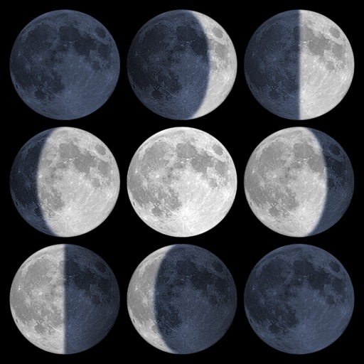
Track sunrise, sunset, and moon phases
Calculate sunrise, sunset, moonrise, and moonset times based on GPS location or selected locations. Track moon phases and twilight times. Save multiple locations and sync calendars for upcoming events. Support timezone selection and iPad Split View.

Yagiz Akdeniz
From your location
Determine by calculating the angle from your location to the Kaaba. Use features to align with the Kaaba image. Display accurate based on GPS coordinates. Provide visual guidance for prayer orientation.

Zirak Srl
Track trails, log routes, and map
Track outdoor activities with real-time GPS mapping, displaying distance, time, elevation gain, and speed. Compare routes with downloaded tracks and view points of interest.

Khushali Sabhadiya
Photos with location and map data
Take photos and embed GPS location data. Add latitude, longitude, date, and time. Shoot videos and include watermarks. Add altitude and magnitude information. Share location-based content with others.

KRUTAGNA INFOTECH
Capture photos with GPS and map data
Capture photos with integrated map data and weather information. Adjust settings including grid, aspect ratio, and manual map options. Edit images with map overlays and share directly.


Kalimex-Consulting s.r.o.
Invite members and share real-time location
Invite members using a unique code without registration. Share or track locations in real time by enabling tracking. View each other's positions on a map and manage location sharing settings within the .

Shingle Oy
Detailed topographic map of Norway.
The app provides detailed topographic maps of Norway for offline use. Users can download map areas, record tracks, plan routes, and measure distances and angles.
Apps are ranked by functional similarity, category fit, rating confidence, and popularity.