Record trips with video, track route, location, mileage, and speed. Save audio commentary. Share recordings. View maps and trip details. Set recording schedules. Export data to files.
by 正选 董★ 4.453 ratingsNavigation$2.99Data updated 2026-11-06
Track skiing speed and distance. Map ski routes and mark slopes. Record maximum speed and track movement. View detailed statistics on winter sports activity. Sync data with maps for accurate route representation.
Manage aircraft maintenance tasks with work order creation and tracking. Monitor asset status and compliance. Generate reports and analyze maintenance data. Integrate with third-party systems for data consistency.
The app tracks user journeys without requiring accounts or logins. It allows users to record their locations, add tracks to a map, and export them to GPX or KML files.
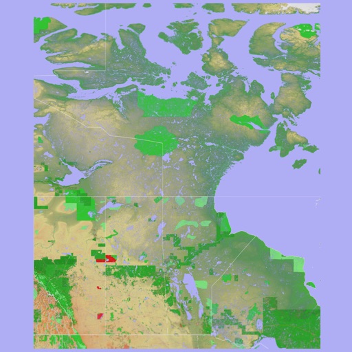
The app provides a 3D topographical map of Western Canada. Map data downloads to the device for use without an internet connection, allowing users to view terrain features as small as ten meters.
The app presents a 3D topographic map of Eastern Canada. Users can download map data for use without an internet connection, suitable for various travel methods.