
NavLink HD
Digital Yacht Ltd
Plot courses and track your route
View real-time GPS position on the map. Overlay live AIS ship data when connected. Plot course and track trips.
Remote view and control your MFD
Remotely view and control Raymarine e,c,ES, and Axiom MFDs via iPad. Access electronic charting, sonar, radar, and thermal night vision. Emulates MFD functions for remote operation. Requires MFD software v3.15 or later and WiFi-enabled displays.
Showing 201–220 of 1,000 ranked alternatives.
Digital Yacht Ltd
Plot courses and track your route
View real-time GPS position on the map. Overlay live AIS ship data when connected. Plot course and track trips.


永福 李
Vehicle positioning and information display.
The app displays vehicle location and information including time, mileage, speed, and driver. Users can query historical vehicle trajectories and remotely search for video files on devices and servers.

Bradley D. Greenlee
Track location and view heatmap
Track location data using GPS and other methods. Store data in iCloud for access via the website. View heatmap visuals of traveled areas. No data stored on developer servers. Background location requires permission.

Ansgar Vollmer Und Till Knorr
Find routes, view maps, locate stations
Find the nearest station using GPS. View detailed routes with transfer points. Navigate through stations via an index. See line details including station order and transit options. Display high-resolution maps for clear visualization.


ExaMobile S.A.
Rotate , find direction, navigate trails
Use to determine directions and navigate. Rotate device 360 degrees for orienteering. Access camera preview to align with surroundings. Set bearings and track movement without GPS.


Conserve.IO Inc.
Protect manatees and preserve environment.
The app displays manatee protection zones and speed restrictions for Florida. It provides real-time conservation messages based on user location and allows submission of manatee sightings to agencies.

YAMSOL LLC
Navigate routes and manage transports
Manage medical transport routes and schedules. Track vehicle locations in real time. Log patient information and trip details. Receive alerts for delays or changes. Submit reports and access operational data. Coordinate with dispatch and brokers.
Sean Flanagan
Track with realistic indicator
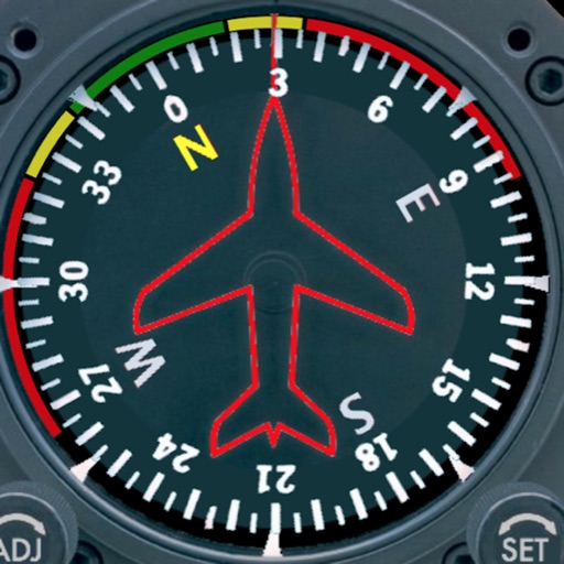
Displays a photorealistic -style indicator with both analog and digital readouts. Users can toggle rotation lock, simulate the instrument indoors, and view improved graphics. Supports latest iOS versions and includes bug fixes.


Yannick VENNET
iPhone becomes a car head-up
The app transforms an iPhone into a car head-up display. It functions well at night and performs better in daylight under less intense ambient light conditions, such as on a cloudy day.

Savvas Petrou
Estimate distance to any object.
The app helps users estimate the distance to objects using the device's camera. It offers features like zoom, adjustable lines, and night vision for low-light conditions.

Tatsuo Saeki
Monitor flight data and backup instruments
Provides a backup flight display with attitude indicator and heading indicator. Displays critical flight data during instrument failure. Allows pilots to monitor aircraft orientation and direction. Integrates with GPS for accurate navigation.
Apps are ranked by functional similarity, category fit, rating confidence, and popularity.