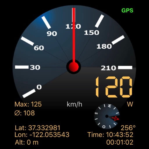
Displays altitude and vertical speed using filtered GPS data and a Kalman Filter for smooth readings. Tracks changes in altitude to calculate vertical speed in knots. Provides pilots with clear, responsive variometer data for flight monitoring.
Displays real-time tidal stream data based on the nearest Devonport high water time. Shows hourly streams charts valid for specific periods. Allows users to view tide set and interpolated rates. Functions fully offline without internet connection.
Displays a finger cursor indicating the direction to the destination. Users can view routes on street maps, satellite views, or hybrid maps. Maps can be oriented with North at the top or rotated to match the user's current direction.