The app provides access to climbing and backcountry skiing guidebooks on a mobile device. Guidebooks are available for offline use after download and offer turn-by-turn trail navigation to climbs using the device's GPS.
by Outdoor Geeks LLC★ 2.225 ratingsSportsFreeData updated 2026-09-29
Plan and navigate off-road trips with detailed trail guides, GPS , and route planning tools. View trail difficulty, elevation, and user reviews. Save and share routes. Track progress and receive turn-by-turn navigation without internet.
Plan routes for hiking, cycling, cross-country skiing, and ski-alpine trails. View elevation profiles and 5-day weather forecasts for any location. Explore global tourist maps with trails, paths, and hillshade terrain.
View GPS tracks for hiking, cycling, and running with an interactive map and elevation-based color coding. Open standard GPX files to see routes and access detailed statistics. Display tracks with a simple, read-only interface.
Track running, cycling, hiking, and over 90 with GPS data. Analyze performance metrics and save routes. View heatmaps to discover new paths. Switch between terrain and satellite maps for route planning. Sync data with Apple Health.
Watch movies, TV shows, short films, and web series related to action sports. Access content about skiing, snowboarding, surfing, and climbing. View tech tips and adventure travel material. Subscribe for monthly or yearly access.
Track cycling routes with detailed 3D maps showing terrain and elevation. Log ride details including distance, speed, and time. Save and share custom trail routes. View trail difficulty and user ratings. Receive turn-by-turn navigation during rides.
Ascents with route planning and summit recording. Log trips with detailed stats and navigation. Create specialized training plans. Debrief journeys with performance analytics. Set safety alerts and monitor progress in real time.
Track ski lift and run status with real-time updates. View expanded trail maps and resort webcams. Check current weather and snow conditions. Purchase lift tickets, book lodging, and explore resort amenities.
Explore ski areas worldwide with 3D maps and GPS navigation. View real-time lift status and offline maps. Share location with others. Access alpine, nordic, and backcountry terrain details. Track progress and plan routes.
Play a -based climbing game with obstacles and hurdles. Navigate between paths using and climb actions. Avoid falling by timing movements. Track progress through challenges and levels. Share achievements on social media.
Plan trips with offroad and trail data. Access offline GPS navigation and camping locations. Find fuel and water resupply points. Connect with local users and join events. Track routes and share trip details.
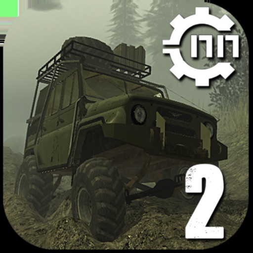
Drive realistic SUVs and trucks with high-quality graphics and physics-based handling. Choose from various models including UAZ, GAZ, Kamaz, and more. Customize cargo types and navigate challenging off-road terrain.
Track runs by recording distance and vertical feet. Log workouts with Apple Watch and sync to Health . Share real-time locations with friends on an interactive trail map. View and replay recorded runs.
Measure distances and angles using a rangefinder and inclinometer. View GPS coordinates and map overlays. Take geo-tagged photos and videos. Use a compass and navigation calculator for orientation and route planning.