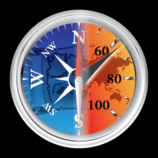
Provides a 3D floating with realistic OpenGL graphics. Users can switch between nine modes, including direct read, traditional, and rosette styles. It displays degrees, quads, or mils.
by Craig Hunter★ 4.374 ratingsNavigation$1.99Data updated 2026-11-14
Track elevation and climb rate in real-time. Calibrate altitude settings and check GPS accuracy. Send location links via SMS for easy sharing and navigation assistance. View maps in web browsers for location tracking.
Navigate using a 3D map with interactive routes. real-time imagery of any location. Calculate distances and areas between points. Explore landmarks and locations globally.
Monitor , air pressure, and oxygen levels in real time using GPS and sensor data. Customize theme and background. Track environmental changes with precise measurements and dynamic updates.
Navigate using real-time traffic updates and turn-by-turn directions. Access points of interest, search for locations, and view maps. Switch between portrait and landscape modes. Control audio playback and manage call functions.
Navigate using a digital with a overlay showing the ground. Adjust sensitivity settings and switch between horizontal and vertical modes. Calibrate the and access location-based information.
AR uses location data to determine the direction of Ka'aba. It offers mode to display Kaaba on the camera feed for prayer orientation. Compass mode provides a traditional compass with a directional needle.
Measure and display decibel levels in real time using a gauge. Record maximum, average, and minimum decibel values with a logarithmic graph. View accurate level readings. Access a history page to review past decibel data.
Monitor current and direction using real-time data. View compass integration for accurate navigation. Save and access favorite locations for quick reference.