The app measures the direct distance and angle between any two points on a map. It can register a starting point and destination, and search for locations on the map.
by Looped Picture Company★ 0.00 ratingsNavigationFreeData updated 2026-09-28
The app provides daily updated schedules for Halifax's selected food trucks and food carts. Users can see today's locations on a map, search and sort options, daily specials, and track selected.
View locations of postal boxes (red), convenience store boxes (green), and post offices (JP) on a map. Tap markers to see photos and collection times. Search by location, address, name, or box type.
The app allows users to view and search points of interest including gas stations, tourist attractions, and accommodations. It also locates users on the map using GPS and suggests routes for exploring new trails.
The app provides a planner and guide for the River Thames and Wey Navigation. It includes an interactive map, journey planner, lock and bridge details, weather, and river conditions.
Provides maps for navigation without internet connection. Includes detailed vector maps with zoom capabilities. Displays points of interest and updated locations. Helps avoid roaming charges by using local data.
The app shows the user's location on a mapping system. This allows for rapid location of users without phone contact and provides distance information to customers.
Set a name and phone number on first use. Automatically detect location and adjust map for pickup point. Confirm location with a button. Select favorite taxis or filter options to choose a taxi. Place an order directly.
Tracks speed, distance, and time on Italian highways. Provides real-time data on speed limits. Displays comprehensive driving statistics. Runs alongside satellite navigation and other apps. Alerts driver about speed limits.
The app logs real-time location data at user-defined intervals. Journey information displays on a map or through a CSV and GPX viewer, with routes exportable via email and clipboard.
Explore with real-time bus tracking to monitor bus locations and plan trips efficiently. Use the interactive map to navigate bus stops, landmarks, and points of interest. Receive route updates and schedule alerts for upcoming arrivals.
The app lists all of Victor Horta's locations in Brussels on a map. Pictograms indicate the status of each location, and fact sheets provide information.
The app allows users to book taxi rides with minimal steps. Users can monitor vehicle progress on a map, save selected locations, and review past reservations.
The app allows users to discover global destinations, share tips, and view locations on a map. Users can read and submit reviews, and access information offline.
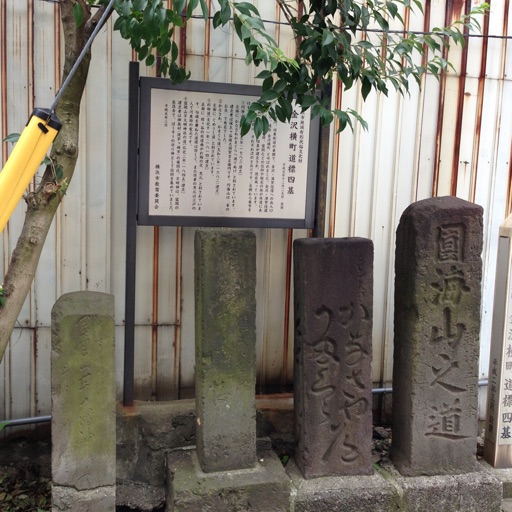
The app introduces users to historic spots in Hodogaya, Japan, using a map interface. It allows users to explore the town's historical locations while walking.
The app learns user habits to suggest the next connection without input. Its live map displays public transport vehicle locations and vehicle availability for easier planning.
Save parking locations with GPS or map input and add photos for reference. Retrieve saved locations to navigate to your vehicle using maps and photo guidance.
Find locations near your current position with list and map views. Access detailed information about each location. Navigate directly to selected places with one-click options.