The app measures the direct distance and angle between any two points on a map. It can register a starting point and destination, and search for locations on the map.
by Looped Picture Company★ 0.00 ratingsNavigationFreeData updated 2026-09-28
The app provides a three-language tourist map of Budai-hegység, usable in Hungarian, English, and German. It includes detailed maps of Iharos, Anna-rét, and Kamaraerdő, with zoom, swipe, compass, and distance estimation features.
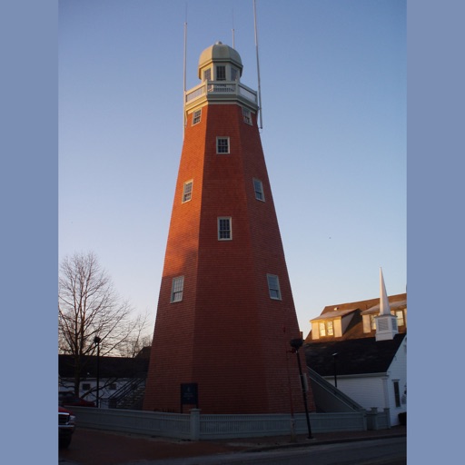
The app guides visitors through Portland with a pulsing blue dot and map flags indicating points of interest. Users can select categories to find specific locations and view details with links for more information.
Call a taxi by selecting a service from a list of companies. Register in the to access features. Choose pickup and destination locations. Track driver location in real time. Pay using integrated payment methods.
Plan trips by creating roadmaps with map-based steps, naming, reordering, and dragging points. Calculate total distance and estimated ride time. Navigate by tapping steps to set GPS destinations. Track progress during travel with real-time guidance.
The app provides 2D and 3D flight data visualization, downloadable map data, and live tracking support. It calculates XC points, supports common file formats, and visualizes airspaces and thermals.
Locate yourself using GPS and map verification. Find routes visually or via search. View real-time transit updates. Plan trips within the Helsinki area. Track public transportation schedules and delays.
The app provides a database of aerodromes in Chile, including details like runway data, frequencies, and approach charts. It offers search functionality, magnetic compass information, and a map view of aerodrome locations.
The app guides users through itineraries and trails around Perugia, featuring abbeys, churches, landscapes, and historical sites. It provides a map with points of interest and information on local events, accommodations, and dining.
The app provides details and locations for licensed hotels and guesthouses in Hong Kong, with an offline map. It offers a nearby search function and allows users to report suspected unlicensed establishments.
Access real-time location data and choose from over 70 map layers for detailed boundary and land ownership info. View satellite, topographic, hybrid, and road maps. Set permissions and contact details for areas you visit.
Capture photos with embedded GPS coordinates and timestamps. View live maps and customize location details including addresses and map types. Edit geotag settings and share tagged images with precise location data.
The app helps users find nearby places like restaurants and shops using AR view for directions. It allows saving keywords, setting search points, and sorting results by distance.
Find EV charging stations with real-time updates and user ratings. Search by location or travel destination. Plan routes with charging points included. Add comments, photos, and check-in at locations. Submit new charging station information.
Backcountry trips by importing GPX files to calculate travel time, calorie needs, and weather forecasts. Download packing lists and track remaining distance and time during the journey. View real-time weather conditions based on the forecast.
The app provides subway maps and a route planner with travel time and distance. It calculates trip costs and finds nearby stations using augmented reality.
The app presents an interactive map of interesting places within Karviná, Havířov, and Jastrzębie-Zdrój. It also provides important contacts, photo galleries, videos, and information about projects to help users explore these cities.
Find free zones by filtering the map to display only free spots. Locate streets without payment requirements and identify 3-hour free zones near your destination. View rules and zones on a color-coded, easy-to-read map.
Explore locations with augmented reality navigation. Access maps and detailed regional guides. View interactive points of interest including public transport, dining, and attractions. Plan daily itineraries and find budget-friendly accommodations.
View real-time vehicle locations on a map. Check schedules and arrival predictions for stops. Plan routes with transfers. Find transport equipped for accessibility needs.