The app measures the direct distance and angle between any two points on a map. It can register a starting point and destination, and search for locations on the map.
by Looped Picture Company★ 0.00 ratingsNavigationFreeData updated 2026-09-28
Create a map of kid-friendly locations in your area. Search for places by name or location, add favorites, and organize them by category. View details, photos, and text for each place. Get directions via Apple or Google Maps.
The app creates a large, detailed map from a selected area in two steps. Users can preview a large and detailed map simultaneously on their device and print posters up to 16 sheets.
The app tracks outdoor activities and travel, showing distance, time, and elevation. It displays courses on a map, allows track import and sharing, and exports tracks for review on other services.
Navigate using real-time map data from geospatial experts. Subscribe to custom map layers for specific needs. Access offline maps and location-based alerts. Share locations with others. Sync with other devices for real-time updates.
Navigate by voice command using "Hey Siri" to start or stop route guidance and search for new routes. Set the starting point to current location. Use Siri shortcuts for quick navigation actions. Display advertisements during use.
Displays a finger cursor indicating the direction to the destination. Users can view routes on street maps, satellite views, or hybrid maps. Maps can be oriented with North at the top or rotated to match the user's current direction.
Access offline topographic of New Zealand. Download and manage to conserve storage. Locate DOC huts, campsites, and hunting areas. Search for named locations. Import GPX routes and share via AirDrop. Measure distances on .
Calculate takeoff, landing, climb, cruise, descent, and instrument procedure for Beechcraft aircraft. Input wind and weight to determine glide distance with head or tailwinds.
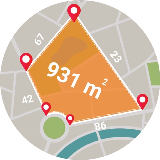
Calculate areas, plots, and distances using GPS technology. Draw and map regions on a map. Measure perimeter and of custom shapes. Save and share measurement data. Export maps in various formats.
Select and use maps from multiple vendors including OpenStreetMap, CityGuide, and national producers. Navigate offline with worldwide coverage. Access traffic info and regular updates. Set map preferences and manage subscriptions.
S.I.C.I. SOCIETA' CONSORTILE A RESPONSABILITA' LIMITATA
Land, calculate , track distance
Distances, areas, and perimeters of land or objects. Save measurements to a library. Access accurate data for any location. Track distances and store objects for future reference. Offers free trial and subscription options for unlimited use.
Book private transfers for airport, mountain, or point-to-point trips. Schedule rides anytime, reschedule or cancel freely. Choose from hourly charters, family travel options, and business car rentals. Track routes and manage bookings through the .
Find trucks and carts with real-time schedules. View today’s locations on a map. Search and sort options to locate meals. Check daily specials and track favorite vendors. Update schedules daily.
Find stations, check availability, navigate to location
Locate nearby docking stations with distance and direction. View available and docks. Use full-map mode to check docks at destinations. Set a ride timer to track rentals and avoid late fees.
Save locations by taking photos and adding descriptions. View directions and distance to saved places. Log travel experiences and access navigation features offline.
Receive live traffic alerts for accidents, breakdowns, and jams. View hazards, fixed obstacles, and road closures. Choose from Classic, map, or Dark Mode. Automatically start or stop the with customizable shortcuts.
Convenient and cost effective long distance calling.
The app offers low prepaid long distance rates and connects to the user's existing address book. Features include Call Back and Direct Dial to make calling more convenient and cost effective.
Rent electric scooters via a map-based . Locate and unlock scooters using QR codes. Start rides with a 10-minute free trial. Track trips and manage payments through the .