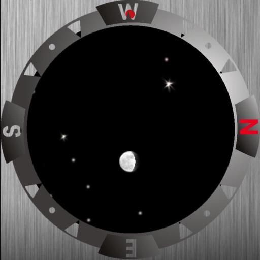
Identify stars, planets, and constellations using real-time sky maps. Point device to locate celestial objects. View satellite passes and track planetary movements. Receive detailed information on selected objects.
View real-time maps and track tropical cyclones. Explore global cloud patterns and hurricanes. Access forecasts and world for cities. Display a 3D simulation of with accurate star renderings. Rotate and zoom the for different perspectives.
Track sunrise and sunset for your location and other dates. View local solar midday, lunar phase dates, and seasonal start . Check winter and summer time change dates. Browse detailed astronomical information for any location and date.
View forecasts to determine optimal times. Access maps for discovering new spots. Track tides and weather conditions. Log catches and share findings with other anglers. Sync data across devices for continuous tracking.
Track celestial events and locate optimal stargazing conditions. Find clear, dark skies with forecasts for light pollution and cloud cover. Set alerts for ideal viewing times. Share locations and compare sky clarity across regions.
Track solar and lunar events with location-specific details. Zoom timeline to view celestial movements at different scales. Add notes and reminders directly on the timeline. Watch the Sun, , and ' positions and movements.
Track phases with a monthly showing each phase's date and time. View lunar events like eclipses and full moons. Set reminders for specific events. Share phase data via social media or email.
View phases and illumination for any date. Tap navigation buttons or swipe to switch days. Use the calendar icon to select a specific date. Check next full and new dates from the Today view.
Provides direction and orientation for accurate prayer alignment. Displays real-time heading and angle. Includes accessibility features for visually impaired users. Allows manual adjustment of location and prayer time settings.
View phases for any date between 1900 and 2100. Check and sunset times for the current day and next six days. Display timezone based on device location. Swipe or select a date to view astronomical data.
View real-time buoy observations from 800+ NDBC buoys. Check forecasts for over 300 zones. Access tide predictions and current hourly forecasts. Save favorite buoys and locate the nearest one. Sync data across all devices.
Navigation allows users to view direction aligned with satellite imagery or maps. Displays street address, GPS coordinates, elevation, and What3Words codes. Taps switch between satellite and map views. Pinch or spread to zoom.
View tidal data, solar and lunar times, and forecasts in one interface. Check tide predictions, advisories, and sun/moon schedules. Plan activities like fishing, boating, or diving based on real-time and forecasted conditions.
Check current and forecasted with interactive maps. View Sun and Moon data along with compass directions. Find Golden Hour and Blue Hour times for photography. Display temperatures in both Celsius and Fahrenheit.
Fishing maps show verified catch locations, boat ramps, and underwater structures. Users can mark and manage private waypoints. Track fishing trips, log catches, and access real-time weather and tide forecasts.