Provide real-time turn-by-turn with updates. Plan routes and view alternative options. Adjust settings for preferred roads or avoid tolls. Share locations and receive directions via voice or map. Sync with devices for offline use.
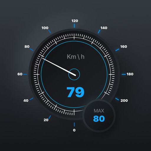
Track speed with accurate GPS measurements and view average and maximum speed per trip. Choose units and monitor distance traveled and estimated travel time. Use turn-by-turn navigation to build routes.
Monitor vehicle data in real-time and retrospectively. Receive alerts for speed limit violations and fuel efficiency metrics. Generate reports on vehicle performance and usage. Track vehicle location and receive instant notifications.
Monitor vehicle tilt in real time to prevent rollovers on uneven terrain. Set custom maximum tilt angles and receive alerts when thresholds are exceeded. Display inclinometer readings for forward, backward, and sideways lean.
View nautical charts in S-57, S-63, iENC, and BSB/KAP formats. Use external NMEA/AIS data over WiFi. Display official HO S-57/S-6 charts. Navigate river, channel, and harbor routes. Access real-time positioning and vessel tracking data.