Measure objects and spaces using a smartphone camera. Capture images of properties to calculate distances, perimeters, and areas. Export measurements and share results directly. Sync data across devices for accurate project tracking.
by Blue Blink One, SL★ 4.845 ratingsProductivity$299.99Data updated 2026-09-08
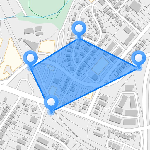
The app plots areas on a map by adding landmark points or dropping pins. It calculates enclosed area and distances between points, with options to add interest points and photos.
Measure rooms and objects using augmented reality. Create and save floor plans with measured points. Store measurements and export images of measured areas. Use as a digital tape measure for DIY or professional projects.
Measure objects by taking a photo with a smartphone or tablet. Capture real-time dimensions like height, width, area, and length. Share measurements via Cloud. Sync with laser device for accurate data. Export measurements in various formats.
Measure speed of vehicles, boats, skiers, cyclists, and animals using motion detection. Track moving objects with a handheld device. Includes three speed measurement tools and two distance estimation tools.
Reader tool allows users to read and listen to books. Ruler tool measures length, breadth, and height of objects. Protractor tool measures angles of objects. Slope tool calculates the incline of structures. Activity track daily tasks and progress.
Measure areas and distances on maps by placing points and calculating the total or route length. Save and share specific locations as points of interest. Calculate GPS areas with high accuracy.
Land using GPS technology. Define boundaries on maps to calculate plot sizes. Calculate distances and areas for properties or regions. Save and share measurement data. Sync with mapping services for accurate results.
The app functions as a reflective light meter using the phone's camera. It offers professional measurements for flash and color temperature when combined with Lumu Power hardware, providing exposure parameters and light analysis.
The app provides AR ruler functionality for measuring length, width, and height. It calculates area and distances between points, and users can save measurements and customize ruler designs.
Objects, lengths, angles, areas, and heights using augmented reality. Switch between metric and imperial units. Take screenshots, use flashlight, and draw clear measurement lines. Perform single or chained measurements and estimate person height.
Record and display GPS-based measurements with a map line. Share results on social media. Obtain current location via GPS. Option to minimize battery use without GPS. Does not run in the background.
Record video of a with the pitcher and catcher. Select frames when the ball is released and when it crosses the plate. Adjust distance settings for different leagues. Calculate manually using the recorded frames.
Attend prayers, learn Quran, connect with community
Provides access to Islamic teachings, prayer schedules, and community events. Offers educational resources, language courses, and social engagement opportunities. Facilitates donations and connects users with local mosques and activities.
Measure distances by tapping the screen to calculate wall, floor, or linear feature lengths. Calculate areas by drawing around spaces for instant square footage or meter readings. Count items quickly with on-screen tools.
Measure objects using touch as or tape measure. Split objects into equal parts and calculate width/height ratios. Estimate diameter, angles, and divide circular objects. Switch between millimeters and inches for units.
Measure vibrations using phone sensors to detect seismic activity or body tremors. Display readings on the modified Mercalli intensity scale. Calibrate the to set maximum values between 10-11. Provide reference comparisons for earthquake vibrations.
Measure distances by dragging a finger across the map to calculate route lengths. Center on current location with the locator button. Clear routes by shaking, using the trash button, or dragging again.
Access offline topographic of New Zealand. Download and manage to conserve storage. Locate DOC huts, campsites, and hunting areas. Search for named locations. Import GPX routes and share via AirDrop. Measure distances on .