View -level imagery by tapping locations on a map to find nearby panoramas. Search addresses for view images. Navigate automatically to current location. Share and bookmark panoramas. Display map and view in double view mode.
The app transforms devices into a compass with a rustic aesthetic and user-friendly interface. It provides location, altitude, and orientation using device sensors for navigation and everyday use.
Navigation allows users to view and share GPS coordinates in six formats. It includes a , altitude, distance, and sunset/sunrise tracking. Users can set and edit waypoints with photo or audio notes.
The app helps Muslims find the Qibla direction toward the Kaaba in Makkah using GPS, magnetometer, and location services. It works globally, even without an internet connection, and features a visually pleasing compass interface.
Find fastest routes in with real-time updates for cars, public transport, walking, and biking. Get directions, locate restaurants, and explore local attractions. Navigate without a separate .
The app provides interactive maps for navigating Barcelona's TMB Metro. It offers a fast route planner that functions offline and includes step-by-step directions.
Find managed by the United States Forest Service or Bureau of Land Management. View campground details including name, agency, weather, elevation, and images. Search and locate nearby sites. Share location data with a Road Trip Planner .
Explore parks with detailed audio tours that provide information on history, wildlife, and geology as you drive. View upcoming points of interest, distances to restrooms, gas stations, and food locations.
The app finds nearby places like restaurants, ATMs, and parks. It offers navigation, place details, and live weather information for the user's current location.
Find ethanol-free gas stations sorted by distance. View map to locate stations. Get driving directions to selected stations. Track and save fuel mileage and trip distance at each fill-up.
Navigate using the MBTA system. View real-time schedules, plan routes between locations, and find the way to travel. Tap to select stops, pan and zoom the map, and tap to tap CharlieCard. Track your journey and receive directions.
Navigate with route suggestions and public transport
Navigate streets and public transport routes in Cochabamba with full door-to-door guidance. Choose between buses, micros, or trufis. Get multiple route options and search for streets, crossings, or points of interest.
Offers real-time transit data and an official CTA map. Users can search routes, view transfer options, and check travel time, fare, and distance. The provides details on nearby attractions and current navigation updates.
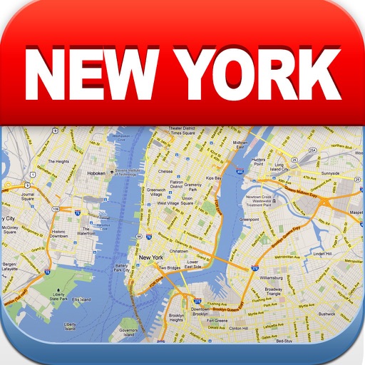
View maps of New City, including subway and airport routes. Navigate using real-time GPS without internet. Bookmark addresses for trip planning. Access top attractions and explore without data usage.