Read UTM coordinates directly from the device. Rotate the phone for larger numbers. Send UTM coordinates via email or iMessage with a map link. The map link opens in any browser on smartphones or computers.
by Viatact AB★ 4.937 ratingsNavigation$1.99Data updated 2026-11-02
EMTs and paramedics can view nearby ERs and specialty centers. Locate ambulance entrance coordinates. Route to ER bay entrance using default map . Supports hospitals in Orange County and part of LA County.
Collect GPS coordinates as KML Placemarks with location, name, comment, and color. View coordinates in decimal, DMS, and UTM formats. Import and export data as KML files via email. Add Placemarks by tapping "+". Record locations automatically.
Measure distances using GNSS for outdoor surveys. Track and view results on iOS maps. Share tracking data via file sharing. Adjust units to meters, feet, or U.S. survey feet. Select distance calculation methods. Remove ads with in- purchase.
Find stops, save favorites, track vehicles, search
Find nearby stops with one click. Favorite stops for access across devices. Get real-time updates on vehicle schedules and positions. Search by stop name, number, or route. Maps are resizable for better control.
View tracks, routes, and waypoints from GPX files. Display maps with options for map, satellite, or hybrid views. Open files from Safari or other apps. Support multiple formats including GPX, TCX, LOC, NMEA, and TRACK. Sync files to iCloud.
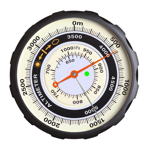
Displays altitude using a digital readout and an analog gauge. Tracks maximum height reached during use. Shows altitude accuracy and sensor quality. Utilizes GPS and barometric sensor for precise measurements.
Save car locations using GPS without maps. cars with a pointer without maps. Set map rotation for better orientation. Enable location history for past saves. Access advanced settings for customization.