

Apps Like FeatureMapper for iPhone and iPad
Collect GPS notes and export as KML
Collect GPS coordinates as KML Placemarks with location, name, comment, and color. View coordinates in decimal, DMS, and UTM formats. Import and export data as KML files via email. Add Placemarks by tapping "+". Record locations automatically.
FeatureMapper screenshots
Ranked alternatives
Showing 401–420 of 1,000 ranked alternatives.


Eco:Map Lite
Martin Seifert
Map plants and animals with GPS.
The app allows users to map plants and animals with GPS coordinate logging. Users can store additional attributes, define custom forms, and import or export data in various formats.


Field Area Measure on GPS Map
Dhara Hingu
Land, calculate , track GPS points
Land, fields, and property using GPS or manual input. Place markers on the map or walk boundaries to calculate , distance, and perimeter. Choose units like square meters or square feet. Save and share measurements.

GPS-Trk 3
hc-eng
Navigate offline with precise tracking
Navigation provides turn-by-turn directions, map views, and route planning. Track location and movement with . Switch between Stand-Alone and Network modes. Save and share trip logs. Set waypoints and measure distances.


Maptrails
Pasi Salenius
Explore maps, track trails, navigate outdoors
View topographic, nautical, and aerial maps. Save locations as markers syncing across devices via iCloud. Measure distances, draw paths, and use Look Around to navigate. Explore preloaded maps for hiking, hunting, and outdoor activities.


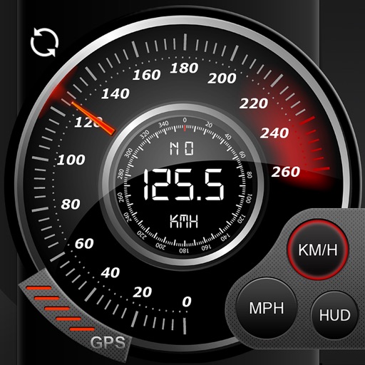
Speedo GPS Speed Tracker, Car Speedometer, Cycle Computer, Trip Computer, Route Tracking, HUD
Kevin Siml
Track , distance, and
Record data including , average , distance, altitude, and elapsed time. View real-time GPS tracking with longitude and latitude. Monitor statistics and save history. Sync with devices for offline navigation.

MapPath Pro
Julien Roze
Record, measure, and track trips.
The app records user trips, displaying tracks, position, and live information like speed and altitude. It also measures distances, areas, and perimeters by placing points on the map.


TeamHaven Mobile
TeamHaven Ltd
Track worker tasks and collect field data
Manage workers by assigning or allowing teams to reserve jobs. View directions to activities. Collect data and photos from out-of-office tasks. Access in-built staff management tools. Available in multiple languages.

Synchroteam
SYNCHROTEAM
Sync tasks, track time, communicate real time
Manage field service tasks with real-time communication and access to job details. View schedules, update progress, and sync data securely. Receive notifications and send updates directly from the field.
How we rank alternatives
Apps are ranked by functional similarity, category fit, rating confidence, and popularity.