
iTopography - Area Calculator
Vasileios Gkanis
Calculate polygon angles and map coordinates.
The app computes polygon angles and obtains map coordinates. It allows users to create projects, import DXF files, and email data.

Coordinate conversion for Swedish maps.
The app converts coordinates between SWEREF 99 TM, RT90, and WGS84. It displays the current position on a map and allows sending coordinates via email or message.
Showing 581–600 of 1,000 ranked alternatives.
Vasileios Gkanis
Calculate polygon angles and map coordinates.
The app computes polygon angles and obtains map coordinates. It allows users to create projects, import DXF files, and email data.

MINORU AIKAWA
Map textures to any real surface.
The app allows users to map image or movie textures from their photo library onto surfaces in a real scene. It supports mapping up to 32 rectangle polygons with editable positions, sizes, rotations, UV coordinates, and vertexes.


Lars Hansen
Save map positions with notes.
The app saves up to 50 map positions with notes. It displays the current address for the user's location and retrieves saved positions using latitude and longitude.

Virtual Map (Australia) Pty Ltd
Australia's most up-to-date mobile map.
The app offers a mobile map of Australia with searchable addresses and updated road maps. It includes GPS positioning, driving directions, and over 100,000 amenities.

Toshihiro Nakane
Type Japanese messages easier and faster.
The app provides extended keys for the Japanese keyboard on iPhone and iPod. It includes English word prediction, arrow keys for caret movement, and dedicated keys for typing extended characters and quotation marks.
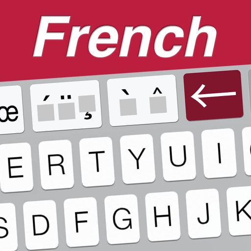
Toshihiro Nakane
Type French messages easier and faster.
The app provides extended keys for the French keyboard on iPhone and iPod. It includes arrow keys for caret movement and dedicated keys for typing extended characters and quotation marks.

Boterham
Read, create, and share GPX maps.
The app reads GPX files and displays details for Waypoints, Routes, and Tracks. Users can create maps by adding places with notes and get directions.

Ali Mert TUFEKCI
Track location, map terrain, and navigate safely
Track location and navigate back to a marked waypoint using directional guidance. Measure distance to the waypoint in meters. Save multiple waypoints for future reference. Share coordinates with others for group navigation.



Garzotto GmbH
Offline maps for Switzerland and Alps.
The app provides offline maps of Switzerland and the Alpine region, including hiking trails and public transport. It offers features like altitude display, distance measurement, and route recording for outdoor activities.


TFI SECURITY & INVESTIMENT SRL
Track fleet positions and status
Manage vehicle fleets by viewing real-time positions, colleague locations, and vehicle status. Access live speed, satellite data, battery levels, and connection status. Switch between maps and control vehicle functions with quick on/off settings.


Apps are ranked by functional similarity, category fit, rating confidence, and popularity.