
Mapcam Info - антирадар
Mykhailo Pavlenko
Warns of cameras and road dangers.
The app warns drivers about traffic cameras and dangerous road locations. It helps drivers maintain speed limits and traffic rules to avoid fines or accidents.

View and control NavNet TZtouch screens.
The app displays Furuno NavNet TZtouch series screen images on iOS devices. Users can control the NavNet TZtouch over an iPad, while iPhone and iPod touch devices are for viewing only.
Showing 281–300 of 1,000 ranked alternatives.
Mykhailo Pavlenko
Warns of cameras and road dangers.
The app warns drivers about traffic cameras and dangerous road locations. It helps drivers maintain speed limits and traffic rules to avoid fines or accidents.
Oleg Baev
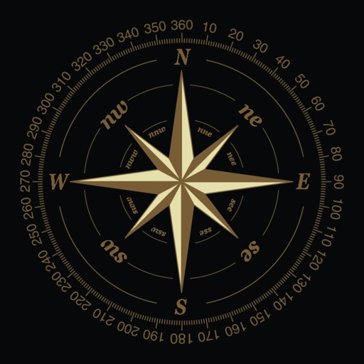
Navigate with true north and altitude data
Displays magnetic and true north directions. It shows location, altitude, and barometric pressure data. Users can adjust phone light settings.


Black Mountain Investment Group, LLC
Track data and navigate airspace
Track aircraft position using device GPS. View real-time data including altitude, speed, and heading. Access weather information and airport details. Set and monitor plans. Receive alerts for airspace changes and terrain obstacles.

GPSmyCity.com, Inc.
Explore , discover landmarks, navigate streets
Explore cities with self-guided walking tours featuring popular attractions and hidden spots. Navigate using a detailed interactive map. Locate points of interest and follow turn-by-turn directions. Save favorite routes and track progress during .

Sean Flanagan
Photo-realistic aircraft artificial horizon indicator.
The app provides a photo-realistic aircraft Artificial Horizon indicator for iPhone. It features resettable zero and smooth, realistic movement, with improved graphics and landscape mode in the latest version.

Vitalijs Lennojs
Vehicle digital dashboard with many features.
The app visualizes current speed, trip time, and weather forecasts. It includes a HUD mode for a reflected display on the windshield and offers music control and photo capture features.

Daniel Garcia
Explore locations with augmented reality maps
Use augmented reality for navigation. Access offline maps and metro guides for Sao and Santos. View interactive points of interest with public transport and attractions. Explore daily itineraries and budget-friendly hotels.

Vitalijs Lennojs
Track routes, view weather, control music
Displays current speed, average speed, time, heading, altitude, trip elapsed time, and distance/time/direction to a stored home location. Provides short-term weather forecasts. Adjusts transparency of Apple Maps screen. Controls iPod playlists.

IQTHINK, LLC
Track loads, manage routes, and control fleets
Manage trucking operations by tracking lanes, routes, and daily loads. Access load details including stops, addresses, and scheduled swaps. Allow drivers to upload photos after each stop for secure documentation and communication.

Ansgar Vollmer Und Till Knorr
Plan routes, view maps, and track transfers
Navigate public transport with real-time route planning and station navigation. View detailed line maps and station indexes. Access offline data and GPS-based station location. Find transfer points and track transit options.


MWAY DIGITAL GmbH
Track speed, altitude, and log data
GPS displays speed, altitude, and track data with real-time profiles. Logs activity in sleep or background mode. Stores recorded tracks for analysis and map display. Shares tracks across devices via iCloud.

Flight Simulation Systems, LLC
Boeing 737 error message reference guide.
The app provides a reference guide to error messages for Boeing 737 series aircraft. It covers nearly four hundred errors from the PFD/ND, FMC, and panel modules, with links to descriptions and corrective actions.

Flytomap
Access real-time NOAA buoy data.
The app provides real-time NOAA buoy data including tides, wave height, wind speed, and atmospheric details. Users can explore a global marine map, access detailed charts, and receive location-specific forecasts for iPhone, iPod, and iPad.

Michael Quach
Locate fitness clubs in seconds.
The app identifies the user's location to find nearby gyms and health clubs. Users can view business locations on a map, addresses, phone numbers, and distances.


永福 李
Vehicle positioning and information display.
The app displays vehicle location and information including time, mileage, speed, and driver. Users can query historical vehicle trajectories and remotely search for video files on devices and servers.


Vitalijs Lennojs
Car dashboard with map and cameras.
The app displays current speed, trip data, and weather forecasts. It also shows speed camera locations and provides a 3D trip log graph.
Apps are ranked by functional similarity, category fit, rating confidence, and popularity.