Access real-time METAR, TAF, and NOTAM data for global airports. Plan and save flight routes with offline storage. Sync data via iCloud. View briefings and pilot reports. Track conditions and flight-related alerts.
Navigate using drive and walk routes with real-time time and distance calculations. Search by address, place, or coordinates. View satellite maps and direction. Share locations, use compass, and track GPS.
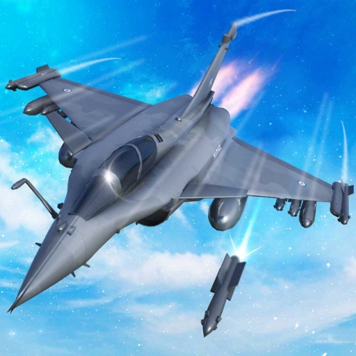
Train pilots for air combat missions. Customize jets with upgrades. Manage squad formations and tactics. Execute airstrikes on enemy positions. Track progress through mission-based challenges. Unlock new aircraft and weapons.
Calculate bullet trajectories using a Modified Point Mass Solution with 4 Degrees Of Freedom. Input ballistic coefficients or drag coefficients from Doppler radar analysis. Adjust for wind, elevation, and distance.
Displays direction and heading in a large, readable format. Allows users to select a background and arrow style. Points to determine current direction and heading.
Measure tilt angles from 0 to 359 degrees. Display in degrees, percentage, and sum angles for 180 or 360 degrees. Switch to theodolite mode and set specified angles to 0 degrees.
Calculate prayer times during flights using waypoint coordinates and altitude. Determine prayer times en route with ground speed and track data. Sync with flight plans for accurate timing.
Access boating information with detailed charts, graphs, and illustrations. Look up formulas, safety guidelines, and equipment specifications. Search for content by topic or use the table of contents. View 800+ images and diagrams for visual .