View and interact with saved maps and data offline. Add markers, customize layers, and share maps via email or social media. Navigate using map views and search for locations. Sync data with web tools.
by BATCHGEO LLC★ 3.5100 ratingsNavigationFreeData updated 2026-09-08
Track vehicle locations on maps or lists. Search for vehicles and view real-time details including speed, direction, odometer, temperature, fuel level, flow meter, and last transmission date. Access map views with satellite or standard options.
Access content from 2017 to 2025. Link to specific bible verses for offline reading. Create and sync personal notes across devices. View locations of Word of Life Bible Church branches on maps. Study scriptures with built-in tools.
Search for local businesses using Yellow Pages data. View addresses, phone numbers, websites, and coupons. Sort results by distance or relevance. Switch between list and map views. Zoom and scroll to navigate map results.
The app provides current and future weather conditions for maritime navigation. It offers detailed weather maps and reports for the North Sea, Baltic Sea, and Mediterranean, including wind and analysis maps.
The app allows users to search for points of interest and save them by category. It can automatically record parking positions and navigate users back to their parked car.
View and import GPX files from email or storage to display on a map. Convert GPX files to other formats. Export tracks as GPX or other supported types. Sync with online maps for offline use. Add waypoints and edit routes directly.
The app integrates mapping technology and augmented reality for outdoor experiences. It offers an offline peak database, AR peak visualization, and multiple map providers and types.
Plan routes and navigate metro system with real-time updates and step-by-step directions. View station maps, check arrival times, and get service alerts. Search for nearby points of interest and switch between metro lines.
Find the nearest station using GPS. View detailed routes with transfer points. Quickly access any station via the stations index. See station order and transit options on each line. Display high-resolution maps for clear navigation.
Track vehicles, manage fleets, and monitor locations
Monitor vehicle locations in real time using GPS. Track speed, fuel levels, and engine status. Receive alerts for unauthorized movement or maintenance needs. Manage multiple vehicles with a centralized dashboard.
The app allows users to discover global destinations, share tips, and view locations on a map. Users can read and submit reviews, and access information offline.
The app converts coordinates between SWEREF 99 TM, RT90, and WGS84. It displays the current position on a map and allows sending coordinates via email or message.
The app provides offline maps and audio sightseeing content for Yerevan. Users can explore points of interest and access tourist services like restaurants and shops displayed on the map.
The app provides worldwide marine and outdoor maps, satellite imagery, and terrain overlays. It offers local marine weather forecasts, route planning with unlimited waypoints, and track recording without needing a cellular signal.
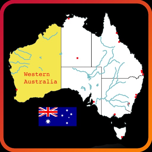
Explore an interactive map of to learn about rivers, lakes, mountain ranges, states, and city locations. Tap and drag to navigate, zoom, select, highlight, and pan the map. Test knowledge with a quiz mode. Build custom maps with selected features.