The app allows users to overlay high-precision map data and access it without an internet connection. Users can view associated attributes and files by clicking on points and can register or edit data and photos on the iPad.
by at-creation Inc.★ 0.00 ratingsBusinessFreeData updated 2026-09-26
Streamline device installation with wireless and wired connection support. Scan and transfer data directly. Initiate and complete installations without a laptop. Reduce errors and save time during setup processes.
Access closing fees for real estate transactions. Place orders for services. Learn about products and services to support real estate needs. View transaction details and manage associated costs.
The app extends the Avature platform for recruiting tasks. It allows stakeholders to perform essential recruiting tasks without an internet connection.
The app provides remote access to orthodontic practice data. Users can view patients, responsible parties, professionals, images, schedules, and treatment charts.
Design, interact, and share experiences without code
Run interactive experiences without coding. Use custom designs, workflows, and multimedia files. Support multi-touch gestures and offline operation. Enable hands-free kiosk mode. Collect usage data and analytics.
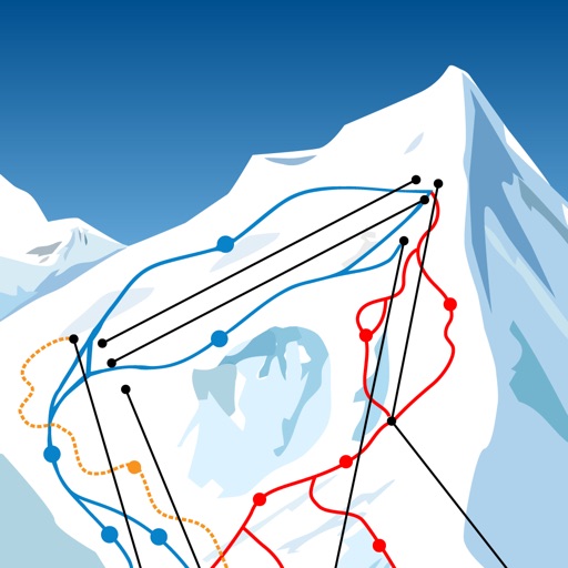
The app allows users to download ski resort trail maps to their iPhone. Users can utilize the built-in GPS to navigate slopes or track activities without an internet connection after downloading maps.
The app provides real-time NOAA buoy data including tides, wave height, wind speed, and atmospheric details. Users can explore a global marine map, access detailed charts, and receive location-specific forecasts for iPhone, iPod, and iPad.
Access event agenda, browse sponsors and exhibitors, and explore venue map. Connect with attendees, receive notifications, and stay updated on key moments.
The app provides access to Dolphin Management and Dolphin Imaging data. It is available for users of Dolphin Imaging, Dolphin Management, or both, with sensitive data encrypted.
Allows users to define harvesting areas and stream boundaries using ArcGIS map data. It supports iPad with GPS boosters for location tracking. Users can manage map layers and attributes for forestry planning.
The app provides a route map with a station index and line overviews. It includes day and night maps, GPS support to find the closest station, and high-resolution graphics.
Securely access corporate and cloud services with end-to-end encryption. Protect sensitive data during online tasks. Maintain stable connections and high data transfer speeds. Safeguard against interception and ensure secure browsing.
BIGS YAZILIM TEKNOLOJI DANISMANLIK TICARET LIMITED SIRKETI
Connect securely with one tap
Access internet securely with bandwidth and ad blocking. Connect or disconnect VPN with one tap. Browse privately without history or cookies. Hide files, videos, and photos. Stream any content securely.
Navigate with marine and outdoor offline. Overlay satellite and terrain data on charts. Access local weather forecasts. View worldwide and satellite imagery when connected. Use NOAA raster data for detailed navigation.
The app allows eDirectory users to connect with and publish their data to the iOS platform. Everything users can do on the web can now be done in the palm of the user's hand.
Locate nearby towers with an interactive map. Filter by carrier or network type. Measure strength and analyze connection stability. Detect weak areas and identify coverage zones. Monitor data and track performance over time.
Manage customer tasks remotely with real-time data access and synchronization. View requests, update statuses, and communicate with teams. Sync data directly with Fusion without needing a VPN. Track work orders and manage schedules.