Plan trips using public transport in Bavaria and beyond. Book tickets, check delays, and report connection needs. View real-time schedules for trains, buses, trams, and shared mobility options like e-scooters and rental bikes.
by Bayerische Eisenbahn GmbH★ 4.814 ratingsTravelFreeData updated 2026-09-08
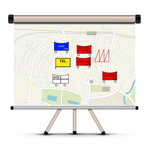
The app allows users to create and edit tactical maps with over 1600 symbols from various organizations. It supports custom map materials, drawing functions, and the ability to record situation reports directly within the application.
The app allows users to create multi-day tours between 200 Natura 2000 areas in North Rhine-Westphalia. It provides information on routes, areas, points of interest, flora, fauna, and protected species.