Receive and transmit real-time AIS data to track nearby vessels and avoid collisions. Share your position with others. Get collision warnings based on real-time ship movements.
by Pocket Mariner Ltd.★ 4.6876 ratingsNavigation$14.99Data updated 2026-11-18
The app offers monthly content for cruising sailors, featuring boat tests, interviews, and equipment assessments. It provides relevant information for sailors exploring various waters.
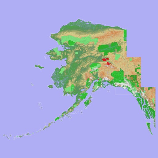
Navigate with a 3D topographic map of the USA. View detailed terrain and vector data offline. Use in vehicles or during outdoor activities. Access global maps online with automatic caching for offline use.
View 3D topographic maps of offline with vector data. Navigate by car, boat, plane, or on foot. Access worldwide satellite maps online with automatic caching. Toggle between map types and zoom to any location.