The app visualizes recent Earth Science satellite data including temperature, carbon dioxide, and sea level variations. Data sets are presented using false color maps with color-coded legends to indicate environmental conditions.
by Jet Propulsion Laboratory★ 4.643 ratingsEducationFreeData updated 2026-09-25
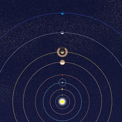
View positions of all solar system planets at any date. Adjust time to see real-time movements. Display accurate orbit sizes, eccentricity, and orbital shapes based on NASA data. Show realistic planet sizes relative to each other.
University of California, Berkeley's Lawrence Hall of Science
Explore planets, track orbits, build models
Explore the with interactive activities like designing a Moon base and growing plants in space. Learn about planetary features, space travel, and life in space. Track celestial movements and conduct experiments to understand astronomy concepts.
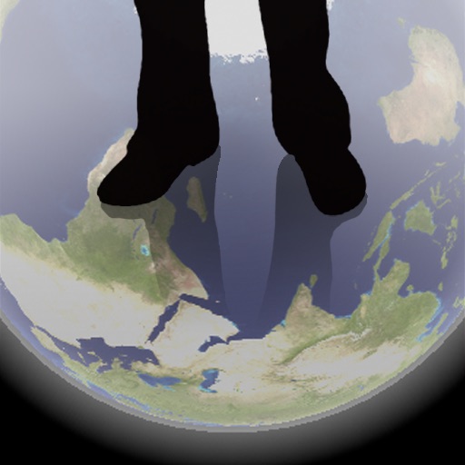
The app shows a transparent view of the earth, allowing users to see the other side of the world beneath their feet. It displays the positions of major cities on a reversed blue marble through a camera overlay view.
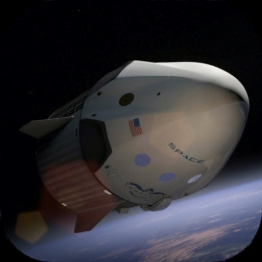
Launch a multi-stage rocket into , recover the first stage by landing it on a sea platform. Dock with the International Station after reaching orbit. Track real historical events from SpaceX's Demo-2 mission, including launch and docking procedures.
Learn about through structured lessons and quizzes. Test knowledge with trivia questions and progress tracking. Access detailed information on rock types, minerals, and Earth's layers. Receive instant feedback and review incorrect answers.
Explore Earth's beauty with celestial motion and real-time effects
The app offers a realistic 3D view of Earth with dynamic celestial elements. It provides an immersive experience tailored to the user's device performance.
Explore the universe from the Big Bang to microscopic structures using interactive VR simulations. Navigate through cosmic scales, view NASA datasets, and examine medical imaging and 3D microscopy.
Monitor electromagnetic fields from 5G satellites in real time. Use augmented reality to visualize satellite positions and view current EMF radiation levels.
View satellites in augmented reality or 3D/2D maps. Locate satellites in real time based on your position. Check nearest details. Press button to verify availability. Track positions and learn about their orbit and launch status.
Plan and manage satellite by analyzing economic, technical, and social factors. Simulate mission scenarios, optimize system performance, and evaluate launch strategies for different orbit altitudes.
Learn about animal conservation through missions, crafts, and habitat projects. Adopt animals to support conservation efforts. Access educational content like quizzes and top ten lists on the Wild Wire Blog.
The app offers a fast-paced quiz game about space exploration. It covers the Solar System, space missions, sci-fi, and technology with hundreds of questions.