The app visualizes recent Earth Science satellite data including temperature, carbon dioxide, and sea level variations. Data sets are presented using false color maps with color-coded legends to indicate environmental conditions.
by Jet Propulsion Laboratory★ 4.643 ratingsEducationFreeData updated 2026-09-25
ZKM | Zentrum fuer Kunst und Medientechnologie Karlsruhe
Explore and their stories
Explore the properties and historical impact of key . Learn about their roles in shaping civilization, climate, and technology. View interactive diagrams and read detailed scientific explanations.
View images and slide through high-definition photos
View rover images from Perseverance, Curiosity, Opportunity, and Spirit. Tap to enter slideshow mode, double-tap to zoom, or share images. The tab displays visuals about atmosphere, gravity, temperature, and surface features.
Explore space through interactive content and real-time updates. Learn about current projects and innovations. Access educational resources and multimedia materials. Track missions and scientific advancements.
Explore 3D science simulations by touching, holding, and interacting with virtual objects. Investigate a smoking volcano, examine a great white shark, explore the solar system, and dissect a frog. Requires a Cube and smartphone or tablet.
Track lunar phases, moonrise and moonset times, and eclipse predictions. View detailed maps and surface features. Adjust settings for photography with exposure and focus guides. Access astronomical data and cultural lunar calendars.
The app displays a 3D globe with 249 countries and 50 USA states. It offers gesture control for browsing, linking to Wikipedia, and displaying realistic flags.
View images and accompanying explanations from NASA’s Astronomy Picture of the Day. Save favorite photos to a personal collection. Access the full APOD archive dating back over 30 years. New images are available daily around midnight ET.
View daily NASA photos of the day, track SpaceX rocket launches, follow the Perseverance Rover mission, and explore NASA EPIC satellite imagery. Access recent NASA news articles and updates.
Explore 3D models of celestial objects like black holes and nebulae. Navigate virtual environments of Mars and Europa. Rotate and interact with high-resolution spacecraft scans. View detailed images of distant galaxies and planets.
Explore a 3D model of with real-time sun position and dynamic lighting. Rotate the globe, zoom in on continents, and view and galaxies. Adjust lighting effects and track celestial movements. Share the view via screen recording or screenshot.
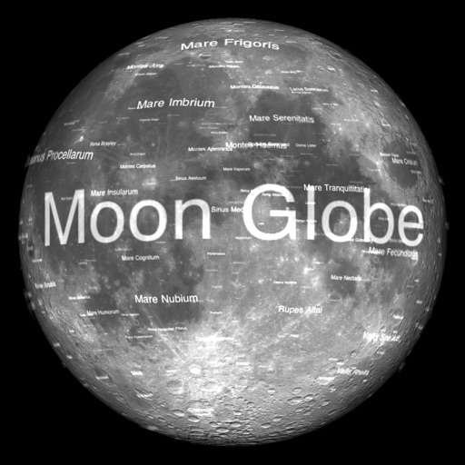
The app renders the Moon in realtime 3D using satellite imagery and topographic data. Users can manipulate the view, adjust sunlight, and see labeled terrain features and spacecraft.
Compare sizes by dragging them on a map. Adjust positions to see size changes based on distance from the equator. Search or tap to select countries. View distortions caused by flat map projections.