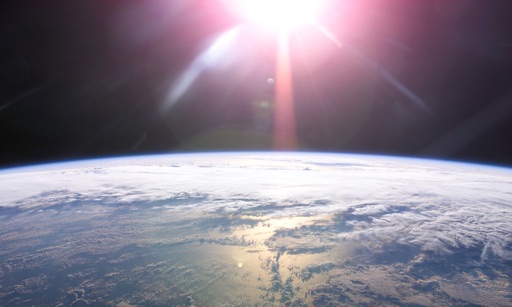
The app visualizes recent Earth Science satellite data including temperature, carbon dioxide, and sea level variations. Data sets are presented using false color maps with color-coded legends to indicate environmental conditions.
by Jet Propulsion Laboratory★ 4.643 ratingsEducationFreeData updated 2026-09-25
With chapter-specific multiple choice questions. Review answers with detailed explanations. Track progress and revisit difficult topics. Take timed quizzes to improve speed and accuracy. Share results with teachers or peers.
Access daily images and videos with descriptions. Explore an archive of past content. View high-resolution visuals and related explanations. Share images directly from the .
Explore lunar landing sites with 360-degree panoramas. Rotate device to navigate terrain. View the Sun and Earth in real-time. Listen to mission audio and optional narration. Add annotations and interact with virtual elements.