
Apps Like Coordinates – GPS Converter for iPhone and iPad
View , convert formats, manage locations
View and convert geographic across multiple formats and datums. Manage locations with an intuitive interface. Display current location at the intersection of two grey lines. Export in various global systems.
Coordinates – GPS Converter screenshots
Ranked alternatives
Showing 61–80 of 1,000 ranked alternatives.


Distance App
Piet Jonas
Distance and direction between any places.
The app calculates the shortest distance or distance with a constant bearing between two locations. Users can select current location, enter coordinates, or choose from a database.

GPS Tracks
David Morneault
Track routes, save waypoints, navigate outdoors
Track outdoor activities like hiking, biking, walking, and running with GPS. Save and navigate to waypoints. Store favorite destinations. View activity logs and maps. Share routes and track progress.


Find Me: GPS Coordinates
Jason Attard
Locate your coordinates instantly
Display and coordinates using iPhone GPS. Show precise location data instantly. Provide clear, minimalistic interface for quick reading of geographic coordinates. No unnecessary features or tabs.


DistancePinner
Mapnitude Company Limited
Measure distance between locations
Measure distances between locations by pinning points on a map. Track real-time distance using GPS with a timer. Switch between metric and imperial units for distance measurements.

The Best Compass & GPS
Zipo Apps Ltd.
Track location with GPS and MGRS coordinates
Determine location using GPS and MGRS coordinates. Display latitude, longitude, and altitude. Show 16 main directions. Operate offline. Suitable for camping and outdoor navigation.

iGeoTrans X Lite
TRAN TRUNG CHUYEN
Record routes and collect field data
Record routes from specific locations to survey sites and display them on a map. Measure distances between coordinates or map points. Calculate areas using coordinate lists or map selections.


Binoculars
ESS International Corporation
Zoom with 32x clarity and satellite view
View satellite aerial images of your location with one-tap access. Zoom in up to 32x using full-sensor resolution for clear, detailed images. Capture and save high-quality photos with real-time zoom and stabilization.

Altimeter - Altitude & Compass
Enacti Ventures Private Limited
Track elevation, location, and weather
Track elevation and atmospheric pressure with and barometer. Use compass for direction based on satellite location. Access weather updates and speedometer. Log steps with pedometer. View maps and use binoculars for scouting.

Altimeter: Elevation, Compass
Furkan Ozoglu
Track location and altitude in real time
Track location, altitude, direction, and geographic coordinates on a map. View detailed with altitude changes. Share photos with location details including coordinates and address.

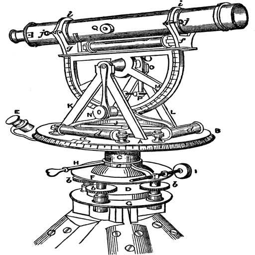
Topography
Georgios Graikousis
Measure surface area and convert coordinates.
The app converts coordinates to UTM EGSA87 Datum and calculates polygon area in square meters. It sends measurements via email in DXF, KML, or TXT file formats for use in various applications.

FieldCalc - GPS Area Measure
Pravin Gondaliya
Land and calculate distances with GPS
Land and distances using GPS by marking points on a map. Calculate field size, plot dimensions, and property boundaries. Save and share measurement data. Sync with other devices for accurate field surveys.
How we rank alternatives
Apps are ranked by functional similarity, category fit, rating confidence, and popularity.