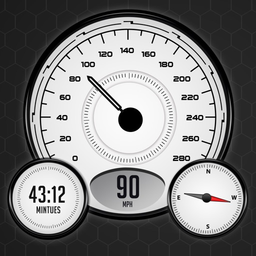
The app monitors vehicle speed and alerts users when surpassing a set speed limit. It displays current speed in km/h or mph and changes background color based on speed.
by Mohamed Rashwan★ 4.02 ratingsNavigationFreeData updated 2026-09-25
Monitor with a real-time speedometer and average calculations. Receive alerts for traps, police radar, and traffic incidents. Display current limits and detect police presence. Provide accurate location data and real-time traffic updates.
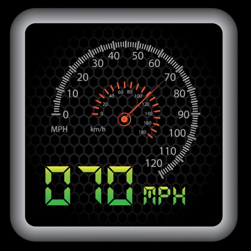
The app provides a heads-up display for a car, offering GPS-based speed information with MPH and KPH options. It includes digital and standard font modes, 12 and 24-hour clock options, and portrait and landscape orientations.
Track trips with breadcrumb navigation, speed, and distance statistics. Log equipment details and track mileage per vehicle. Access satellite view for enhanced map navigation and location tools.
Book rides with two taps. View details and estimated arrival time. Track vehicle location in real time. Rate drivers after each trip. Receive notifications for ride updates and payment confirmations.
Records position, distance, and duration during use. It tracks movement and geotags external photos. Users can review tracks on a map, view speed and distance, and export data as GPX files for other software.
The app assists users with Dubai Metro information, including speed checks and next station notifications. It also offers a smart reminder feature that triggers based on location and time.
Manage vehicle logs with real-time data from a eLog™ compliant ELD device. View driving hours, trip details, and compliance status. Sync logs via Bluetooth or USB. Set up the device without subscription fees.
Receive real-time traffic alerts and navigate with voice guidance. Share traffic incident updates with others. View accurate routes and save time by avoiding delays. Contribute to community traffic data through simple submissions.
View real-time speed with a precise digital . Access an on-screen heads up display for quick reference. See interactive maps with route navigation. Track trip details including distance, time, and average speed.
Displays speed in knots, km/h, mph, or m/s. Shows current coordinates and altitude. Switch units easily. routes and save with position, distance, and speed data. Logs stored as GeoRSS in iCloud for cross-device access.
Provide real-time updates including accidents, construction, and police presence. Notify users of upcoming speed limit changes and display current speed limits. Guide users with turn-by-turn directions and alternative routes to avoid delays.